Share your data
Send us your E57, RCP, PTS or raw scan files through a secure link. No scan data yet, we can arrange a survey team for you.
We convert laser scan data into accurate, coordinated Revit models for architecture, structure and MEP. Clean geometry, correct levels, and files that open without a single error.
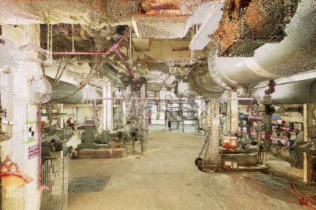 Point cloud
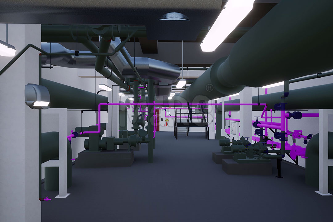 BIM model
Built in the software your team already uses
Anyone can convert a point cloud into shapes. Very few outsourcing partners can prove the result is accurate, standards compliant and warning free before it lands in your inbox. Here is what that actually looks like in numbers.
Based on what clients tell us about their previous supplier before switching to us.
From raw scan registration to a coordinated federated model, we handle the full path. Pick one service or hand us the whole scope.
Registered scan data turned into a clean, parametric Revit model with correct levels, grids and element families.
Explore serviceRaw scans aligned, cleaned, de noised and unified into one coordinated cloud that is ready for modeling.
Explore serviceA record model that matches the building as it stands today, ready for renovation, handover or facility management.
Explore serviceWalls, floors, ceilings, doors, windows, stairs and finishes modeled with real thickness and real openings.
Explore serviceColumns, beams, slabs, footings and steel framing captured with true sections and connection detail.
Explore serviceDucts, pipes, cable trays, sprinklers and plant equipment routed exactly as they run in the building today.
Explore serviceNative RVT files built in your template with shared coordinates, worksets and schedules that populate straight away.
Explore serviceDimensioned floor plans, reflected ceiling plans, sections and elevations delivered as layered DWG files.
Explore serviceHistoric facades, mouldings, vaults and arches rebuilt as custom families with the detail conservation work demands.
Explore serviceProcess piping, skids, tanks, racks and steel structures modeled for retrofit, shutdown planning and clash free tie ins.
Explore serviceYour as built model linked to asset data, warranty records and live sensor feeds so operations teams stop guessing.
Explore serviceFederated models run through Navisworks with a priority clash report your team can action the same week.
Explore servicePaying for LOD 400 when you only need a space plan wastes budget. We help you choose the right level before a single wall is drawn, then hold that level across every discipline.
Approximate size, shape and location. Good for early cost checks.
Real thickness, real openings, real levels. Our most requested level.
Supports, hangers and connections included for clash reviews.
Assembly level accuracy for prefab and off site manufacture.
No black box. You see progress at each stage and sign off before we move forward.
Send us your E57, RCP, PTS or raw scan files through a secure link. No scan data yet, we can arrange a survey team for you.
We review the data, agree the LOD, disciplines and deliverables, then send a fixed price and a firm date within 24 hours.
Your modeling team builds inside your template. A separate QA engineer runs deviation checks and clears every warning.
You receive the model, sheets and a QA report. Revisions in the agreed scope are free for 15 days after delivery.
Most new clients start with one floor or one small area at a fixed price. You get the full QA process and a real deliverable, so you can judge the quality before scaling up to the whole building.
The person who models is never the person who checks. Every file passes a three stage review covering geometry accuracy, standards compliance and file health.
A hospital ceiling void is not an office ceiling void. We staff each project with modelers who have worked on that building type before.
Office towers, fit outs and leasing plans
Hospitals, labs and clinical upgrades
Campuses, schools and research blocks
Hotels, resorts and food and beverage
Plants, warehouses and process facilities
White space, containment and capacity
Listed buildings, museums and places of worship
Airports, stations and transit hubs
A short look at the kind of work we hand over every week.
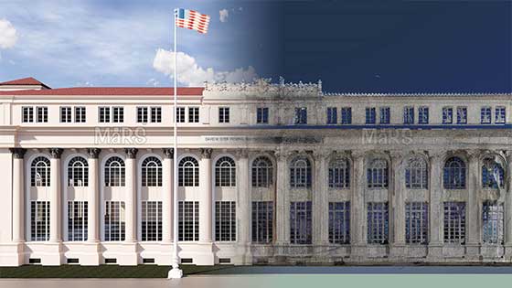
A National Register 1933 courthouse modeled ahead of its conversion into a Miami Dade College facility.
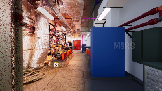
Structural and mechanical digital twin built from ReCap Pro point cloud data for ongoing facility management.
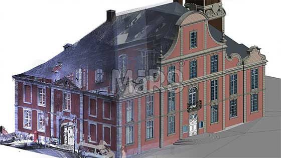
A thirteenth century belfry captured entirely by non contact laser scanning for restoration planning.
We had two vendors fail on this building before MaRS. The model came back clean, inside our template, with zero warnings. Our design team started work the same day it landed.
The MEP model saved us a shutdown. Three clashes in the riser would have cost us a weekend of rework. They found all of them before we mobilised.
Pricing was clear, the date never moved, and the weekly updates meant I never had to chase anyone. That alone puts them ahead of every outsourcing partner we have used.
If your question is not here, send it over. We reply to every enquiry within one business day.
We work with E57, RCP, RCS, PTS, PTX, LAS, LAZ, FLS, ZFS and native Leica, FARO, Trimble and Matterport exports. If your format is not listed, send a sample and we will confirm within a few hours.
Model accuracy depends on scan quality and the LOD you choose. With good registered data we hold element placement within 3 mm to 10 mm of the point cloud. Every project ships with a deviation report so you can verify it yourself.
A single floor of 10,000 square feet at LOD 300 usually takes 3 to 5 working days. Larger buildings ship in phases so your team can start on the first floors while we model the rest.
Pricing is driven by area, LOD, disciplines and how complex the building is. Most work is quoted per square foot with a fixed total, so the number you approve is the number you pay. Send your scan data and scope for an exact figure within 24 hours.
Yes. We sign your NDA before any data moves. Files sit on encrypted storage with access limited to the assigned project team, and we delete or return everything at the end of the engagement on request.
We work with a network of survey partners across North America, Europe, the Middle East and Australia. Tell us the site address and access windows and we will arrange the laser scanning, then take it straight through to modeling.
Guides and technical notes from our BIM engineers. Links go live as new posts are published.
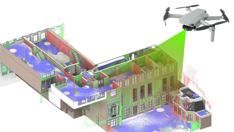
Learn how AI and LiDAR support urban planning, smart mobility, mapping, and data-driven city development with real-world applications.
Read article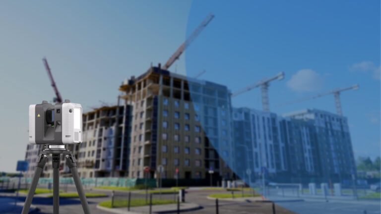
Explore how Leica RTC360 supports fast site capture, accurate point clouds, and reliable Scan to BIM workflows for complex projects.
Read article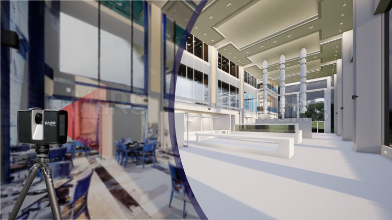
Learn how FARO scanning technology supports Scan to BIM conversion by capturing detailed site data for accurate BIM model development.
Read articleTell us the building, the area and the level of detail you need. We will come back with a fixed price and a firm delivery date within 24 hours.