Verified geometry layer
An accurate as built BIM model of the building or asset, checked against registered scan data.
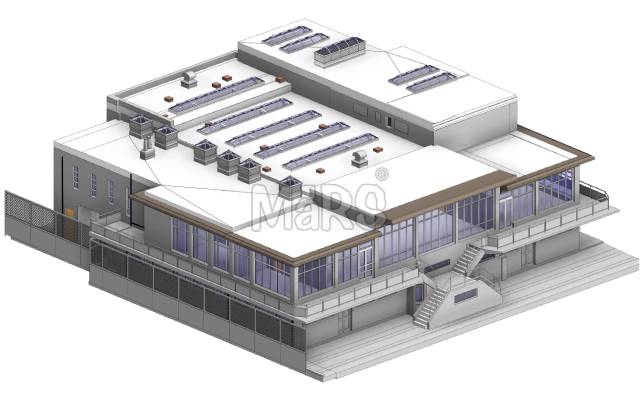
Most digital twin projects fail because the geometry underneath is wrong. We start with a verified as built model, then connect the data that makes it useful long after handover.
No obligation. Most quotes go out within 24 hours.
Connecting sensors to an inaccurate model produces confident looking dashboards built on wrong assumptions. If the geometry does not match the building, nothing downstream can be relied on.
We build the twin from scan verified geometry, attach asset data your maintenance team already recognises, and connect live feeds only where they answer a real operational question. Every twin starts from a verified as built BIM model, never from assumptions.
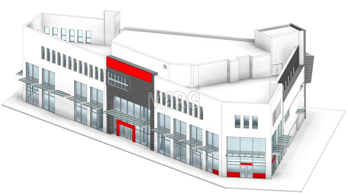
A lot of digital twin projects look great on day one and get abandoned by month six. Here is why ours do not.
A twin built on inaccurate geometry produces confident looking dashboards that are wrong. We start from a scan verified model, always.
We do not require you to switch platforms to adopt a twin, which is usually the first thing that kills adoption.
Most successful twins start with one building and one use case, proven before scaling further.
Data drops are tested for structural validity before handover, not just exported and left for your team to debug.
Geometry, data and connection, delivered as one working system.
An accurate as built BIM model of the building or asset, checked against registered scan data.
Every asset classified, tagged and located, with make, model, install date and warranty data attached.
Validated data drops formatted to load directly into your facility management platform.
Connections to your CAFM, CMMS or BMS so work orders and readings link to real locations in the model.
A browser based view of the asset with search, filtering and drill down for non technical users.
Sessions with your facility team plus written guidance so the twin stays current after we leave.
We build in stages so value arrives early rather than all at the end.
| Scope item | What we deliver | Typical use |
|---|---|---|
| Stage 1 | Verified as built model with asset tagging | Reliable spatial and asset record |
| Stage 2 | COBie data drop and CAFM integration | Work orders linked to real locations |
| Stage 3 | BMS and sensor feed connection | Live performance and condition data |
| Stage 4 | Dashboards and analytics for operations | Energy, space and maintenance decisions |
Data structure decisions come first because they are the expensive thing to change later.
We work out what questions the twin has to answer, then design backwards from those decisions.
The as built model is built or verified so the spatial layer is trustworthy before data goes near it.
Asset naming, classification and parameter schema are agreed and applied consistently across the estate.
Connections to your operational systems are built and tested with real records, not sample data.
Dashboards are tuned with the people who will use them, followed by training and a support period.
Built on measured geometry, not design drawings.
We integrate with the systems you already run.
Value arrives in weeks, not at the end of a year.
A data center operator needed to know exactly how much rack, power and cooling capacity was left before committing to a 40 percent expansion, but the existing floor plans had not been updated since the last major fit out.
We built a rack level as built model tied to the operator asset register, mapped containment and cooling routes from scan data, and connected the model to their capacity planning dashboard so the numbers update as racks are added.
Without a single new building required
Every rack linked to power, cooling and asset data
From scan data to a live capacity view operations could use
"We used to plan capacity from a spreadsheet nobody trusted. Now the model tells us exactly what is free before we say yes to a customer."
Straight answers so you can scope your project with confidence.
You need accurate geometry. If a reliable model exists we verify and use it. If not, we create one from scan data as the first stage of the twin programme.
We work with common CAFM and CMMS platforms, BMS systems and IoT data services. Tell us your stack at the start and we confirm what is possible before you commit.
It can be, if there is a clear use case such as high maintenance cost, complex plant or frequent space churn. We are happy to tell you when the answer is no.
Your team, with a process we set up. We define how changes get captured, who approves them and how often the model is re verified, then train your people to run it.
For a single building with existing scan data, a verified model with a structured asset register typically takes six to ten weeks depending on size and asset count.
Most clients bundle two or three of these to keep one team accountable for the whole scope.
Guides and technical notes from our BIM engineers. Links go live as new posts are published.
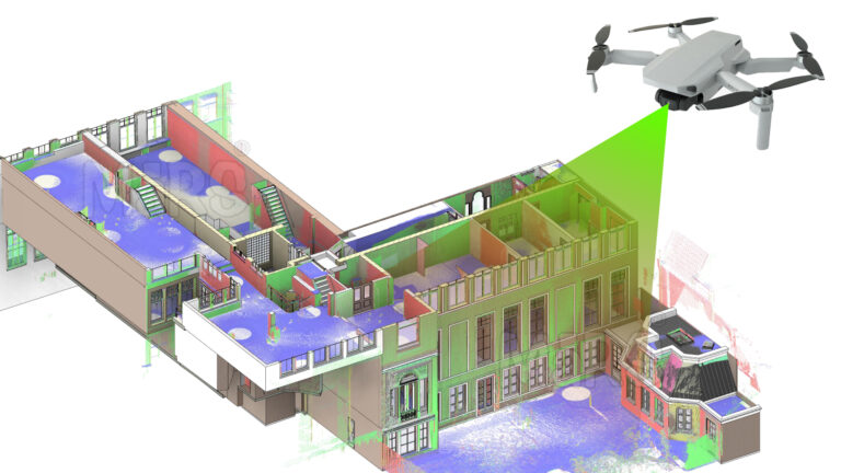
Learn how AI and LiDAR support urban planning, smart mobility, mapping, and data-driven city development with real-world applications.
Read article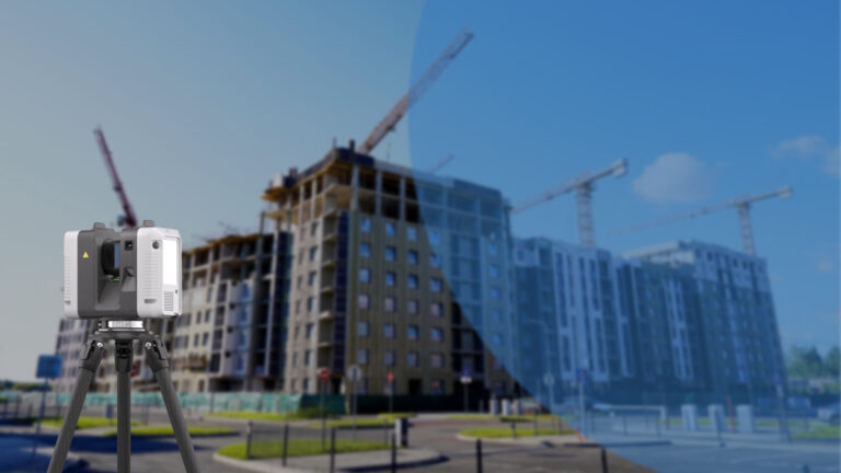
Explore how Leica RTC360 supports fast site capture, accurate point clouds, and reliable Scan to BIM workflows for complex projects.
Read article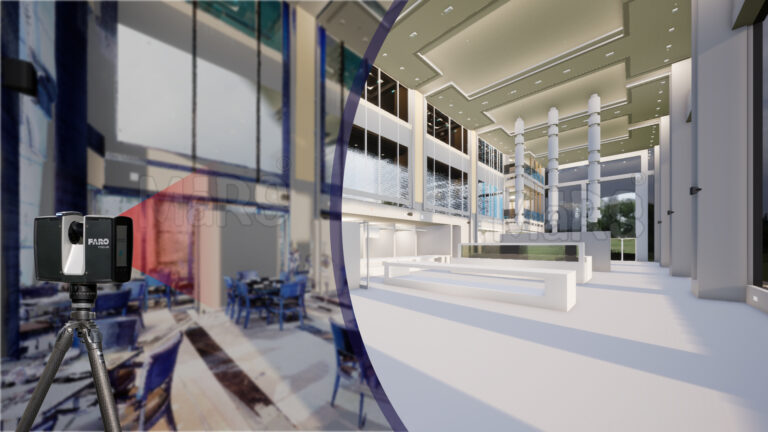
Learn how FARO scanning technology supports Scan to BIM conversion by capturing detailed site data for accurate BIM model development.
Read articleTell us the building, the area and the level of detail you need. We will come back with a fixed price and a firm delivery date within 24 hours.