Unified registered cloud
All setups aligned into one coordinate system, delivered in the format your software reads best.

Bad registration ruins everything built on top of it. We align, clean and unify your scan setups into one coordinated cloud, then hand you a report that proves the numbers.
No obligation. Most quotes go out within 24 hours.
If two setups are off by 20 mm, every wall you model inherits that error. We treat registration as an engineering task, not a button press, and we check the result rather than trusting the software score.
Target based, cloud to cloud or a hybrid of both. We pick the method that suits your site conditions, then verify the result against control points and known dimensions. Once your cloud is registered, it feeds straight into our point cloud to BIM modeling service with no rework.
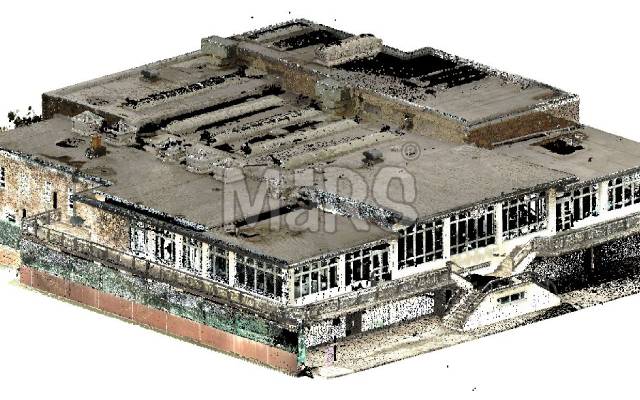
Everything downstream inherits the error you accept at registration. This is how we keep that number small and visible.
Verified against control points and known dimensions, not just a software confidence score you have to trust blindly.
Mixed brand and mixed method data sets are normalised into one coordinate system without losing accuracy.
If one setup is weak, you see it in the numbers, not months later after a model has been built on top of it.
Most projects clear registration in under three days, including our own independent audit of the result.
Everything you need to model from, verify against and archive.
All setups aligned into one coordinate system, delivered in the format your software reads best.
Setup by setup overlap, bundle error and target residuals so you can audit the quality yourself.
People, vehicles, reflections, mixed pixels and stray points removed without eating real geometry.
The cloud tied to your survey control, site grid or a national coordinate system on request.
A lighter version for laptops and coordination reviews that still holds enough detail to work from.
Clear naming by floor, zone or building so your team finds the right file without asking.
Each step is logged, so if a question comes up two years later the record is still there.
| Scope item | What we deliver | Typical use |
|---|---|---|
| Target based | Alignment using spheres, checkerboards or survey targets | Open sites and high accuracy work |
| Cloud to cloud | Geometry driven alignment with bundle adjustment | Dense interiors and tight spaces |
| Hybrid | Targets for the frame, cloud matching for the fill | Large multi floor buildings |
| Georeferencing | Cloud tied to survey control or a national grid | Infrastructure and multi building sites |
Most projects clear registration in under three days, including the audit.
Every setup is opened and checked for corruption, coverage gaps and density before any processing starts.
Targets are detected and matched, or cloud to cloud pairs are built where targets were not used.
The whole network is solved together so error is spread evenly rather than piling up at the far end.
Moving objects, reflections and noise are removed, then colour is balanced across setups.
Results are checked against control and known dimensions, then exported in every format you asked for.
Every project ships with measurable error values.
Leica, FARO, Trimble, Z plus F, NavVis and Matterport.
Most sets come back inside 72 hours.
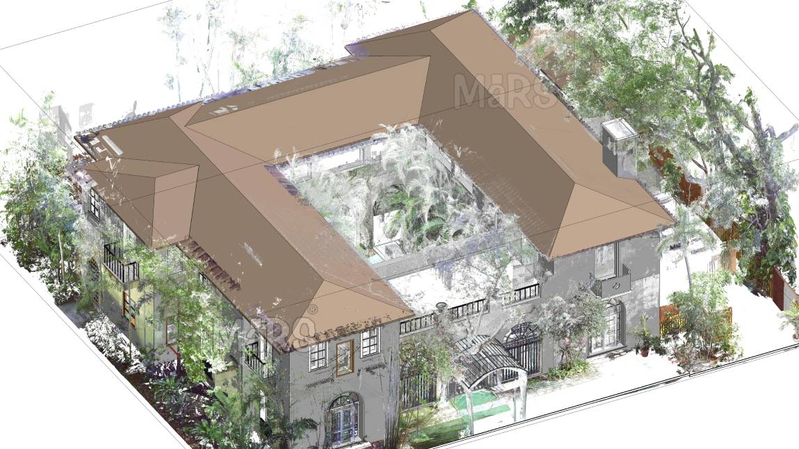
A university estates team had scan data from six different survey contractors collected over four years, in five different formats, with no consistent coordinate system between buildings.
We audited every data set, rejected three that fell outside acceptable tolerance and flagged them for rescan, then registered the remaining eleven to one shared site grid with a documented error value for each building.
One coordinate system and one accuracy standard across the whole campus
Verified against survey control on each building
Average processing time from raw scan to a signed off registration report
"For the first time our facilities team can compare data across buildings without wondering whose numbers to trust."
Straight answers so you can scope your project with confidence.
With good field procedure we typically achieve 2 mm to 6 mm cloud to cloud error on building interiors. Open sites with survey control usually land tighter. The exact figure for your project appears in the registration report.
Not usually. Cloud to cloud registration works well where there is enough overlap and geometric variety. We will tell you honestly if the data cannot reach the accuracy you need.
Yes. Mixed brand and mixed method data is common on large sites. We normalise formats first, then register everything into one network.
Yes, this is standard in every project. We also remove reflections from glass and polished floors, which cause more modeling errors than most people expect.
We map the gaps and send you a coverage plan showing exactly where a rescan would help. Many gaps can be worked around, and we tell you which ones cannot.
Most clients bundle two or three of these to keep one team accountable for the whole scope.
Guides and technical notes from our BIM engineers. Links go live as new posts are published.
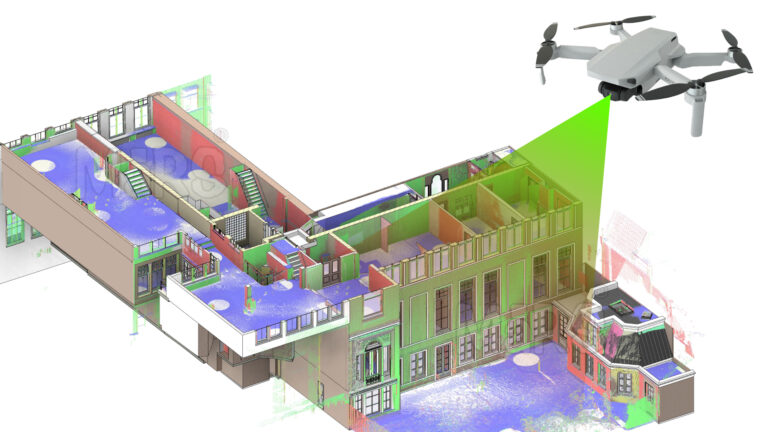
Learn how AI and LiDAR support urban planning, smart mobility, mapping, and data-driven city development with real-world applications.
Read article
Explore how Leica RTC360 supports fast site capture, accurate point clouds, and reliable Scan to BIM workflows for complex projects.
Read article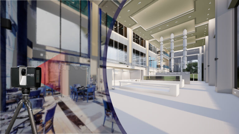
Learn how FARO scanning technology supports Scan to BIM conversion by capturing detailed site data for accurate BIM model development.
Read articleTell us the building, the area and the level of detail you need. We will come back with a fixed price and a firm delivery date within 24 hours.