
Scan to BIM for airports, stations, depots and tunnels
Work happens in short overnight possessions, so the survey data has to be right because there is no second chance. We deliver large scale registration and clearance checked models that hold up under that pressure.
Sector snapshot
What usually drives the briefOne possession, one chance to get it right
Rail, transit and airport environments give you a fixed overnight window and nothing more. We plan capture to make the most of every possession, then register and model at a scale that spans stations, platforms and running lines.
Clearance and gauge checks are built into the modeling process so infrastructure teams can verify compliance directly from the model rather than a separate manual survey. Large sites like these depend on accurate point cloud registration before any modeling starts.
Why sector experience matters here
- Capture planned to make the most of short possession windows
- Large scale registration across stations and running lines
- Clearance and gauge checks built into the modeling process
- Experience coordinating around live operational schedules
Services transport and infrastructure teams order most
The services clients in this sector order most often.
Transport and Infrastructure questions we hear most
Straight answers so you can scope your project with confidence.
Yes. We plan the scan sequence in advance to maximise coverage within the window available and confirm feasibility before your possession is booked.
Yes. Clearance envelopes and gauge checks can be built directly into the model, so compliance can be verified without a separate manual survey process.
Yes. We regularly register large infrastructure sites into one coordinated network, tied to your survey control or a national coordinate system.
Yes. Our field partners work to the safety briefing and competency requirements of rail and airside environments, and we plan projects around them from the start.
Related industries we serve
Energy and Utilities
Power stations, substations and renewables where every modification is planned around uptime.
Industrial and Manufacturing
Factories, warehouses and process plants where a shutdown that runs long costs more than the survey.
Government and Public
Civic buildings and public estates that demand documented standards and secure data handling.
Our recent articles
Guides and technical notes from our BIM engineers. Links go live as new posts are published.
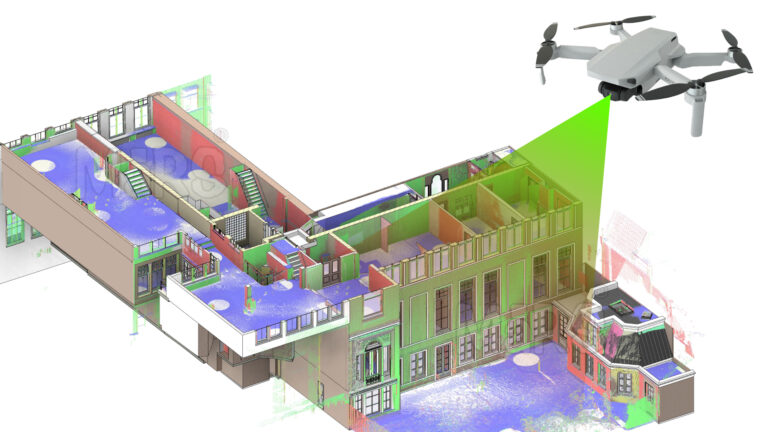
AI and LiDAR in Urban Planning: A New Era of Smart Mobility
Learn how AI and LiDAR support urban planning, smart mobility, mapping, and data-driven city development with real-world applications.
Read article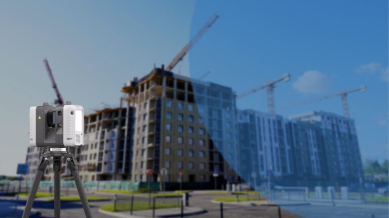
How Leica RTC360 Aligns with Our Vision for Industry-Leading Solutions
Explore how Leica RTC360 supports fast site capture, accurate point clouds, and reliable Scan to BIM workflows for complex projects.
Read article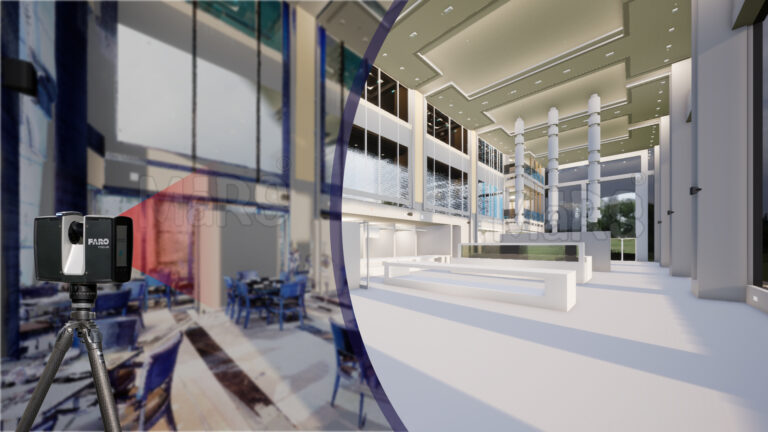
Using FARO Technology to Simplify Scan to BIM Conversion
Learn how FARO scanning technology supports Scan to BIM conversion by capturing detailed site data for accurate BIM model development.
Read articleSend your scan data today. Get a quote tomorrow.
Tell us the building, the area and the level of detail you need. We will come back with a fixed price and a firm delivery date within 24 hours.