Zero physical contact
Full survey completed using non contact laser scanning only

The Belfry of Sint-Truiden, a medieval tower combining Gothic and Romanesque architecture dating back to the thirteenth century, needed an accurate measured record to support restoration planning, without any physical contact with fabric too fragile and historically significant to touch.
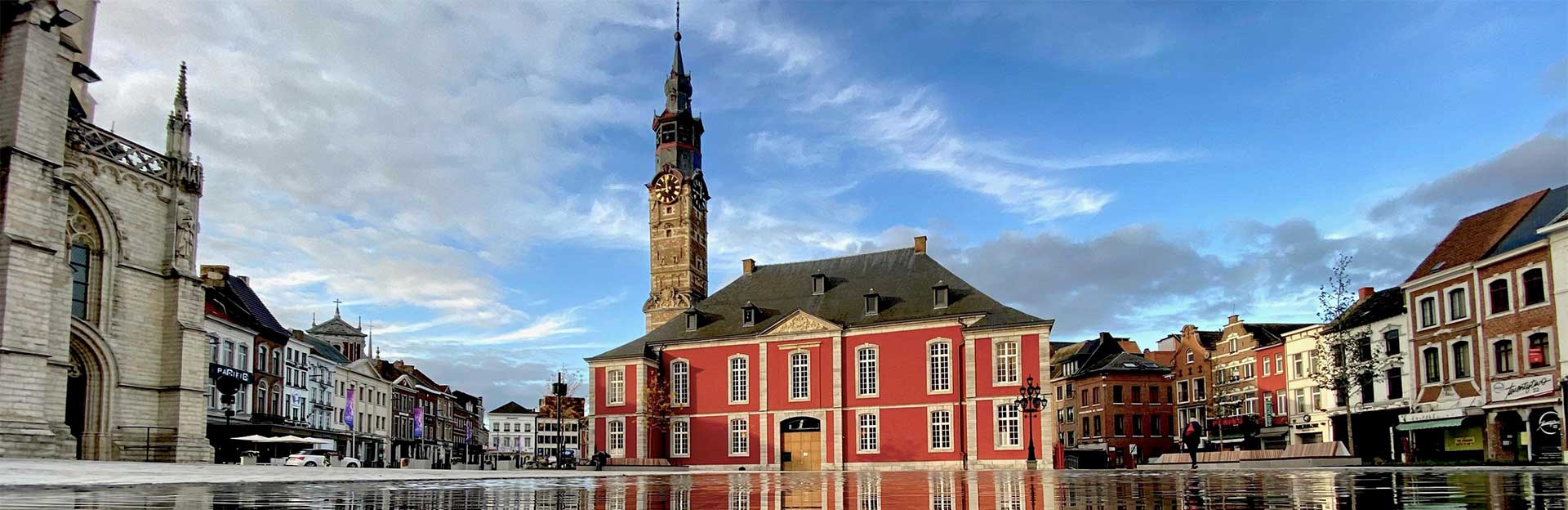
The Belfry of Sint-Truiden, a medieval tower combining Gothic and Romanesque architecture dating back to the thirteenth century, needed an accurate measured record to support restoration planning, but its age and condition meant the survey had to be carried out without any physical contact with the historic fabric.
We captured the belfry entirely through non contact laser scanning, registering the data in ReCap and ReCap Pro before modeling the tower masonry, window tracery and structural geometry in Revit, giving the restoration team a precise measured record without a single point of physical contact with the building.
The tower mix of Gothic and Romanesque detailing across eight centuries of construction and alteration meant no two levels shared quite the same geometry, and the point cloud gave the restoration architects an honest record of exactly how the structure had settled and changed over time.
This project was delivered through our heritage BIM modeling and point cloud registration services. See more heritage and culture work on our industry page.
Click any image to view it full screen, or drag to browse. New photos will replace these placeholders.
A clear record of the data that came in and the files that went out.
Full survey completed using non contact laser scanning only
From registered point cloud to a restoration ready model
Gothic and Romanesque geometry mapped level by level
Restoration planners now have a precise, non invasive record of a structure too fragile and historically significant to survey by conventional means, giving them a factual baseline to prioritise repair work and monitor the tower condition over time.
A protected medieval structure surveyed with zero physical contact
Eight centuries of structural change captured as measured fact
Baseline record established for ongoing condition monitoring
Guides and technical notes from our BIM engineers. Links go live as new posts are published.
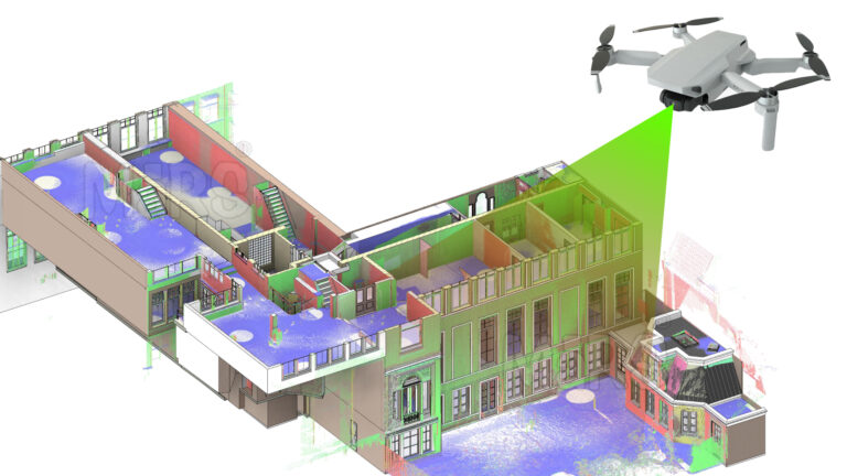
Learn how AI and LiDAR support urban planning, smart mobility, mapping, and data-driven city development with real-world applications.
Read article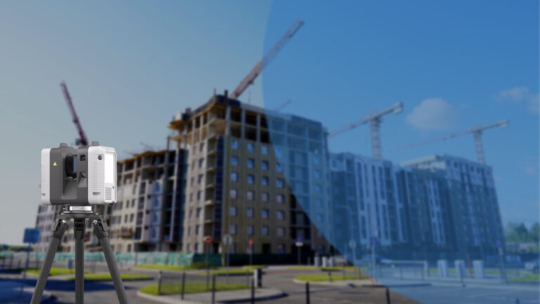
Explore how Leica RTC360 supports fast site capture, accurate point clouds, and reliable Scan to BIM workflows for complex projects.
Read article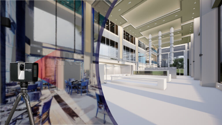
Learn how FARO scanning technology supports Scan to BIM conversion by capturing detailed site data for accurate BIM model development.
Read articleTell us the building, the area and the level of detail you need. We will come back with a fixed price and a firm delivery date within 24 hours.