34 custom families built
For tracery, mouldings and vaulting unique to the building

A parish council needed accurate measured documentation of a Grade II listed church to support a heritage grant application for stone repair, including a vaulted ceiling and window tracery that no existing drawing had ever captured.
A parish council needed accurate measured documentation of a Grade II listed church to support a heritage grant application for stone repair, including the vaulted ceiling and window tracery that no existing drawing had ever captured.
We modeled the building with bespoke families for the stone tracery and vaulting, kept the historic settlement in the walls rather than straightening it, and produced rectified elevation images with condition notes mapped directly onto them for the conservation architect.
Access to the high level vaulting required a scissor lift survey over three days, coordinated with the parish to avoid conflicting with regular services.
This project was delivered through our heritage BIM modeling service. See more heritage and culture work on our industry page.
A clear record of the data that came in and the files that went out.
Drag or use the arrows to step through each viewpoint. The input and output images move together so you are always comparing the same angle.
For tracery, mouldings and vaulting unique to the building
Documentation approved without a single query from the funding body
From first scan to the final measured drawing set
The grant funding body approved the repair application without a single follow up query, a rare outcome for a submission of this complexity, credited largely to the clarity of the measured survey and condition evidence supplied alongside it.
Grant approved without a funding body query
Repair sequencing prioritised using the condition survey
Permanent digital record created for future conservation work
“The deformation survey gave our conservation architect evidence nobody has had for this building before. It changed how the repair was specified.”
Facade and interior HBIM with condition mapping, supporting a phased stone repair programme.
Full architectural and MEP as built model delivered at LOD 350 in nine weeks with phased floor releases.
Fourteen buildings modeled to a single estate template with a shared asset naming standard.
Guides and technical notes from our BIM engineers. Links go live as new posts are published.
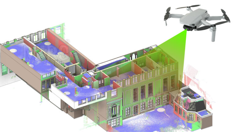
Learn how AI and LiDAR support urban planning, smart mobility, mapping, and data-driven city development with real-world applications.
Read article
Explore how Leica RTC360 supports fast site capture, accurate point clouds, and reliable Scan to BIM workflows for complex projects.
Read article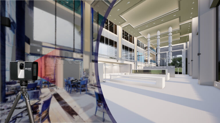
Learn how FARO scanning technology supports Scan to BIM conversion by capturing detailed site data for accurate BIM model development.
Read articleTell us the building, the area and the level of detail you need. We will come back with a fixed price and a firm delivery date within 24 hours.