6 facade zones mapped
Each with its own condition report and repair priority

A museum needed accurate facade and interior documentation ahead of a phased stone repair programme, but decades of weathering had left cracking and staining that no existing survey had ever mapped systematically.
A museum needed accurate facade and interior documentation ahead of a phased stone repair programme, but decades of weathering had left cracking and staining that no existing survey had ever mapped systematically.
We modeled the building envelope and key interior spaces from scan data, then produced rectified orthographic elevation images with condition notes mapped directly onto them so the conservation team could specify repairs zone by zone.
Access to upper facade zones was arranged by cherry picker, avoiding the cost and disruption of a full scaffold survey.
This project was delivered through our heritage BIM modeling service. See more heritage and culture work on our industry page.
A clear record of the data that came in and the files that went out.
Each with its own condition report and repair priority
Full elevation survey completed from ground based and elevated scan positions
From first scan to the final measured drawing and condition set
The museum trust now has a prioritised, evidence based repair sequence instead of reacting to visible damage, letting a limited conservation budget be spent on the zones that need it most first rather than the zones that are simply easiest to see.
Repair budget prioritised by evidence, not guesswork
Baseline condition record established for future monitoring
Supported a phased, budget matched repair programme
“We finally have one document that shows exactly where the stone is failing and in what order to fix it.”
Heritage BIM with custom families for stone tracery and vaulted ceilings, built for a repair funding application.
Fourteen buildings modeled to a single estate template with a shared asset naming standard.
Full architectural and MEP as built model delivered at LOD 350 in nine weeks with phased floor releases.
Guides and technical notes from our BIM engineers. Links go live as new posts are published.
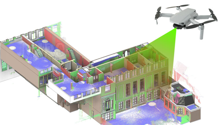
Learn how AI and LiDAR support urban planning, smart mobility, mapping, and data-driven city development with real-world applications.
Read article
Explore how Leica RTC360 supports fast site capture, accurate point clouds, and reliable Scan to BIM workflows for complex projects.
Read article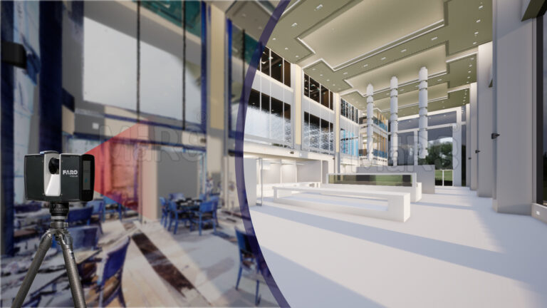
Learn how FARO scanning technology supports Scan to BIM conversion by capturing detailed site data for accurate BIM model development.
Read articleTell us the building, the area and the level of detail you need. We will come back with a fixed price and a firm delivery date within 24 hours.