14 buildings unified
One coordinate system and one accuracy standard across the whole campus

A university estates team had scan data from six different survey contractors collected over four years, in five different formats, with no consistent coordinate system between any two buildings on campus.
A university estates team had scan data from six different survey contractors collected over four years, in five different formats, with no consistent coordinate system between buildings.
We audited every data set, rejected three that fell outside acceptable tolerance and flagged them for rescan, then registered the remaining eleven to one shared site grid with a documented error value for each building, modeling all fourteen to a single estate template.
Work was phased across two summer access windows to avoid disrupting term time teaching and research activity.
This project was delivered through our point cloud registration service. See more education work on our industry page.
A clear record of the data that came in and the files that went out.
One coordinate system and one accuracy standard across the whole campus
Verified against survey control on each building
Average processing time from raw scan to a signed off registration report
Estates leadership can now compare condition and space data across the whole campus for the first time, supporting capital planning decisions that were previously made building by building on inconsistent, sometimes contradictory information.
Estate wide capital planning now possible on one data set
Removed dependency on six legacy survey formats
Asset register adopted directly into the university FM system
“For the first time our facilities team can compare data across buildings without wondering whose numbers to trust.”
Heritage BIM with custom families for stone tracery and vaulted ceilings, built for a repair funding application.
Full architectural and MEP as built model delivered at LOD 350 in nine weeks with phased floor releases.
Facade and interior HBIM with condition mapping, supporting a phased stone repair programme.
Guides and technical notes from our BIM engineers. Links go live as new posts are published.
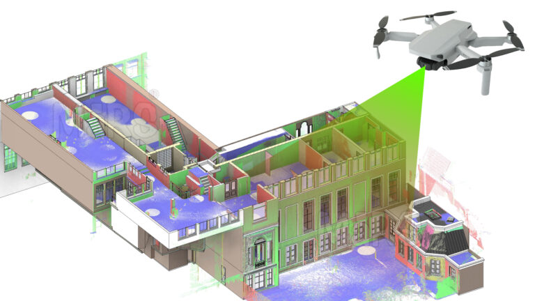
Learn how AI and LiDAR support urban planning, smart mobility, mapping, and data-driven city development with real-world applications.
Read article
Explore how Leica RTC360 supports fast site capture, accurate point clouds, and reliable Scan to BIM workflows for complex projects.
Read article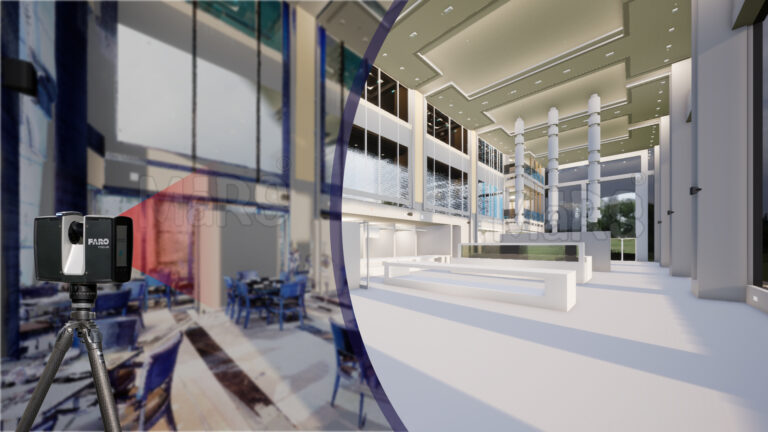
Learn how FARO scanning technology supports Scan to BIM conversion by capturing detailed site data for accurate BIM model development.
Read articleTell us the building, the area and the level of detail you need. We will come back with a fixed price and a firm delivery date within 24 hours.