Two 1614 canal houses
Combined into a single coordinated architectural model

Two adjoining seventeenth century canal houses on Amsterdam Herengracht, dating to 1614, were being converted into modern office space, and the renovation team needed an accurate record of the historic architectural details before any work began.
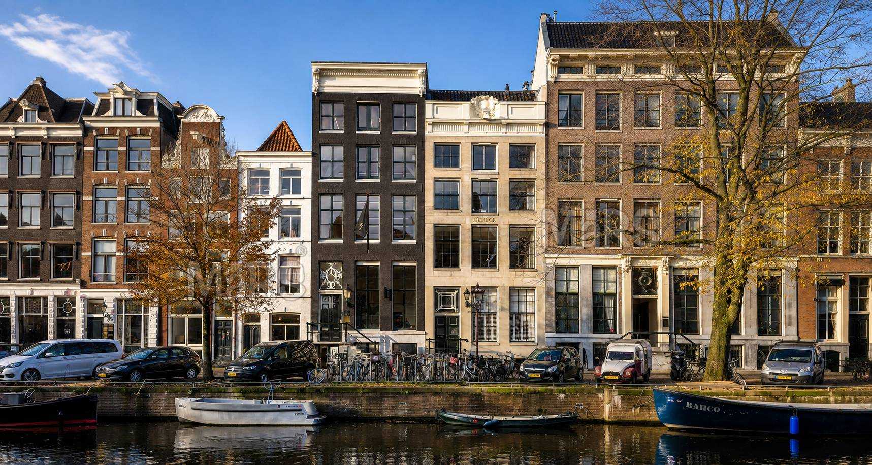
Two adjoining seventeenth century canal houses on Amsterdam Herengracht, dating to 1614, were being converted into modern office space, and the renovation team needed an accurate record of the historic architectural details, stairwells, facades and floor levels, before any work began.
We laser scanned both buildings and modeled the historic fabric, timber floor structures, staircases, facade details and the uneven floor levels typical of canal houses of this age, giving the design team a true measured base to plan the modern office fit out around rather than working from guesswork and old measured surveys.
The two buildings, known together as The Collection, are being redeveloped into contemporary office space while retaining the character that gives them their heritage value, and the model became the shared reference point for the architects, structural engineers and conservation consultant working on the scheme.
This project was delivered through our heritage BIM modeling service. See more heritage and culture work on our industry page.
Click any image to view it full screen, or drag to browse. New photos will replace these placeholders.
A clear record of the data that came in and the files that went out.
Combined into a single coordinated architectural model
From laser scan to a design ready heritage model
Historic staircases and structural timber modeled as custom families
The combined model gave every consultant on the scheme, architectural, structural and conservation, one accurate shared reference instead of separate partial surveys, reducing the coordination risk of designing a modern office fit out inside a four hundred year old structure.
One shared model replacing separate partial surveys across three consultant teams
Historic floor levels and structure captured before any fit out work began
Conservation record established alongside the design ready model
Guides and technical notes from our BIM engineers. Links go live as new posts are published.
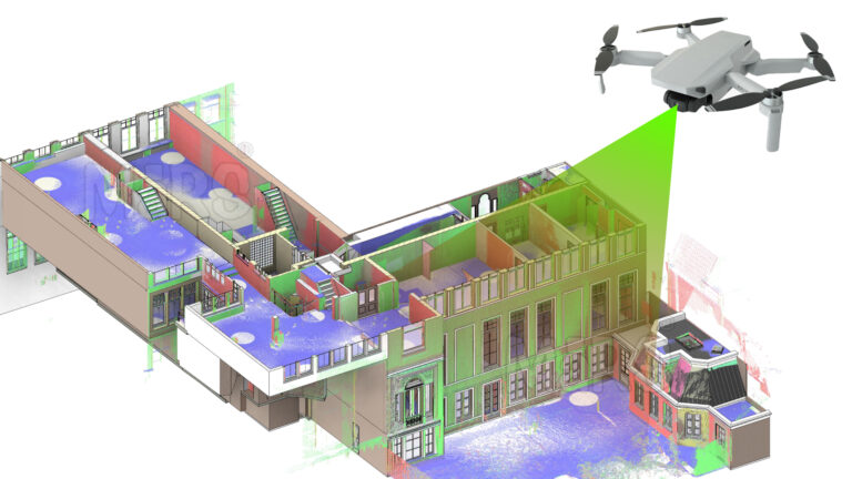
Learn how AI and LiDAR support urban planning, smart mobility, mapping, and data-driven city development with real-world applications.
Read article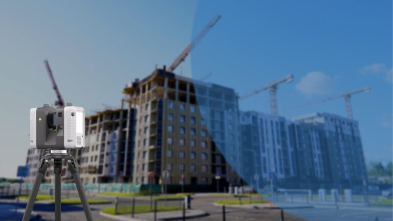
Explore how Leica RTC360 supports fast site capture, accurate point clouds, and reliable Scan to BIM workflows for complex projects.
Read article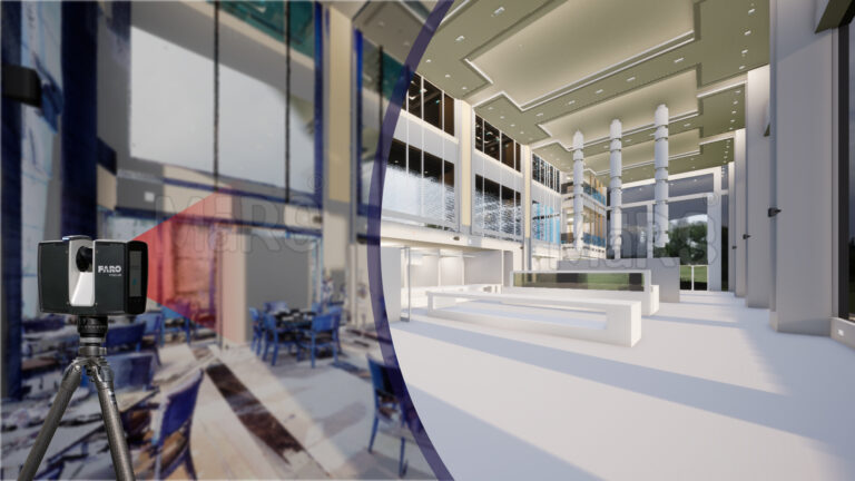
Learn how FARO scanning technology supports Scan to BIM conversion by capturing detailed site data for accurate BIM model development.
Read articleTell us the building, the area and the level of detail you need. We will come back with a fixed price and a firm delivery date within 24 hours.