
Scan to BIM for white space, plant rooms and containment
Capacity planning depends on knowing exactly what space, power and cooling is left, down to the rack. We deliver a rack level as built model tied to your asset data so that answer is never a guess.
Sector snapshot
What usually drives the briefEvery rack, every cable path, verified
Data center floor plans drift out of date the moment the last fit out finishes. We capture the white space, containment, cooling routes and rack positions from scan data, then tie the model to your existing asset register.
For operators planning expansion, the same model becomes a live capacity planning tool, so the answer to what space is free stops living in a spreadsheet nobody fully trusts. That live view is built through our digital twin development service.
Why sector experience matters here
- Rack level as built accuracy, not estimated positions
- Containment and cooling routes captured from measured data
- Asset register tied to your existing tagging convention
- Live capacity dashboard integration available
Services data center teams order most
The services clients in this sector order most often.
Data Centers questions we hear most
Straight answers so you can scope your project with confidence.
Yes. Rack positions, containment and cooling routes are modeled from measured scan data, not estimated from a spreadsheet, so the model reflects the floor exactly as it stands.
Yes. We map asset data to the format your platform requires and can set up a live or periodically refreshed connection depending on your setup.
Yes, with full awareness of hot aisle and cold aisle containment and any access protocols your operations team requires.
Yes. The as built model becomes the base layer for testing expansion scenarios, so you can see what fits before committing to new build.
Related industries we serve
Industrial and Manufacturing
Factories, warehouses and process plants where a shutdown that runs long costs more than the survey.
Commercial Real Estate
Office towers, business parks and mixed use blocks that need accurate leasing areas and fast fit out coordination.
Government and Public
Civic buildings and public estates that demand documented standards and secure data handling.
Our recent articles
Guides and technical notes from our BIM engineers. Links go live as new posts are published.
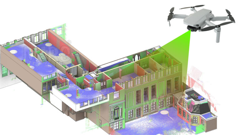
AI and LiDAR in Urban Planning: A New Era of Smart Mobility
Learn how AI and LiDAR support urban planning, smart mobility, mapping, and data-driven city development with real-world applications.
Read article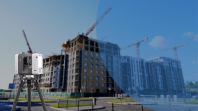
How Leica RTC360 Aligns with Our Vision for Industry-Leading Solutions
Explore how Leica RTC360 supports fast site capture, accurate point clouds, and reliable Scan to BIM workflows for complex projects.
Read article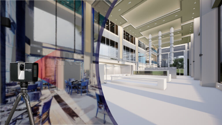
Using FARO Technology to Simplify Scan to BIM Conversion
Learn how FARO scanning technology supports Scan to BIM conversion by capturing detailed site data for accurate BIM model development.
Read articleSend your scan data today. Get a quote tomorrow.
Tell us the building, the area and the level of detail you need. We will come back with a fixed price and a firm delivery date within 24 hours.