40 percent expansion planned
Without a single new building required
A data center operator needed to know exactly how much rack, power and cooling capacity was left before committing to a 40 percent expansion, but the existing floor plans had not been updated since the last major fit out.
A data center operator needed to know exactly how much rack, power and cooling capacity was left before committing to a 40 percent expansion, but the existing floor plans had not been updated since the last major fit out.
We built a rack level as built model tied to the operator asset register, mapped containment and cooling routes from scan data, and connected the model to their capacity planning dashboard so the numbers update as racks are added.
The white space and plant room survey covered 1,200 racks, captured without any interruption to live operations.
This project was delivered through our digital twin development service. See more data center work on our industry page.
A clear record of the data that came in and the files that went out.
Without a single new building required
Every rack linked to power, cooling and asset data
From scan data to a live capacity view operations could use
The operator approved a 40 percent capacity expansion using the model rather than commissioning a new building, avoiding a multi million dollar construction decision and shortening the expansion timeline from years to months.
New build construction avoided entirely
Expansion decision timeline cut from years to months
Live capacity data now available to the sales team
“We used to plan capacity from a spreadsheet nobody trusted. Now the model tells us exactly what is free before we say yes to a customer.”
Full architectural and MEP as built model delivered at LOD 350 in nine weeks with phased floor releases.
Structural and services model built to plan a new production line install and equipment routing.
Fourteen buildings modeled to a single estate template with a shared asset naming standard.
Guides and technical notes from our BIM engineers. Links go live as new posts are published.
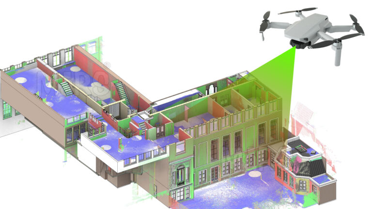
Learn how AI and LiDAR support urban planning, smart mobility, mapping, and data-driven city development with real-world applications.
Read article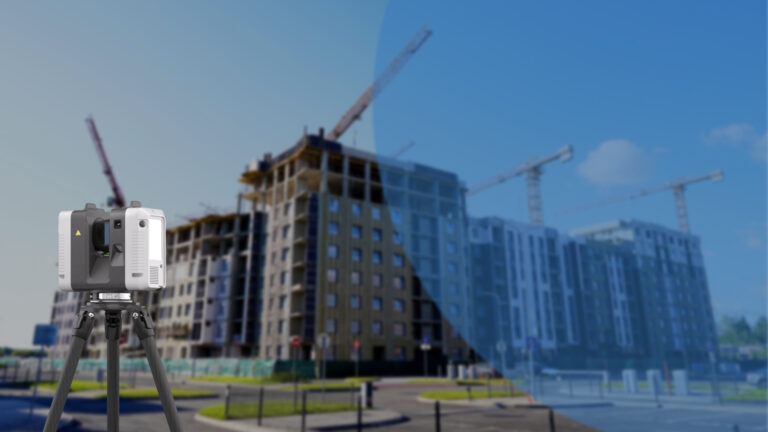
Explore how Leica RTC360 supports fast site capture, accurate point clouds, and reliable Scan to BIM workflows for complex projects.
Read article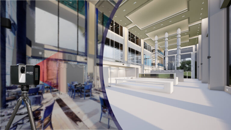
Learn how FARO scanning technology supports Scan to BIM conversion by capturing detailed site data for accurate BIM model development.
Read articleTell us the building, the area and the level of detail you need. We will come back with a fixed price and a firm delivery date within 24 hours.