Modern construction sites operate as fast-paced ecosystems where coordination, accuracy, and timing directly impact outcomes. Large-scale developments and retrofit projects often involve dense structural systems, tight installation tolerances, and overlapping trades. To keep pace with these demands, field teams depend on spatially accurate models that support smooth integration across design, engineering, and construction disciplines.
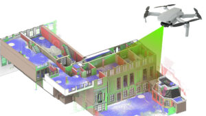
BIM workflows gain their strength from how well they mirror physical conditions. When modeling begins with spatial data that reflects real-world geometry across MEP-heavy zones and tight service corridors, teams can make better sequencing decisions, coordinate more confidently, and minimize on-site conflicts. Spatial clarity supports smoother handoffs across stakeholders and accelerates installation readiness.
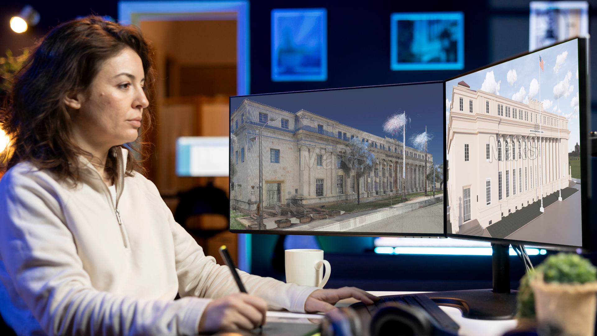
Reality capture solutions that meet the speed and accuracy needs of field execution have become essential to generating reliable BIM. Technologies like NavVis scan to BIM enable construction teams to start with high-quality 3D context that aligns tightly with what’s happening on-site. The result is a more informed project lifecycle, where models support real-time decisions instead of requiring constant revisions.
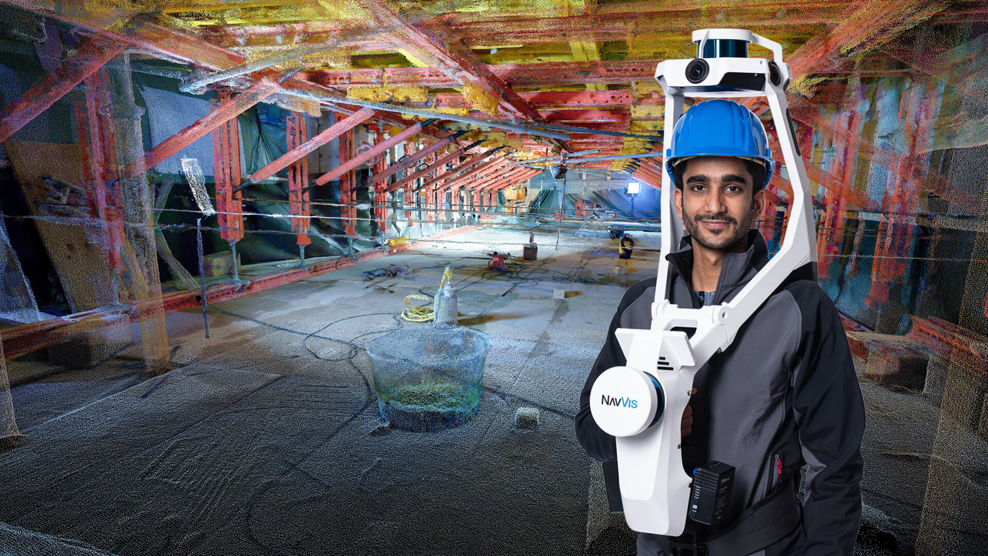
NavVis a Mobile Reality Capture Designed for Construction Needs
Construction teams today require fast, flexible tools that work within active project environments where staging, access, and time are limited. NavVis VLX meets these demands by enabling field engineers or VDC professionals to walk through spaces and capture detailed spatial data without halting ongoing site work. Its design supports seamless movement through tight corridors, around temporary structures, and across partially built areas, making it practical for live construction workflows. The device’s ability to capture both LiDAR and panoramic visual context supports deeper site understanding, especially during early trade layout and installation phases.
On complex jobs, such as MEP-intensive floors or phased renovations, scanning speed and site coverage are critical. NavVis delivers rapid capture across multiple floors, enabling quick data turnaround for BIM teams working on coordination, installation planning, or deviation checks. Its accuracy supports direct alignment with survey control, which simplifies downstream model integration and layout verification. Rather than being a separate task, scanning becomes a part of routine construction progress supporting weekly coordination, trade verification, or pre-pour documentation with minimal overhead.
From Scans to Smarter BIM Models
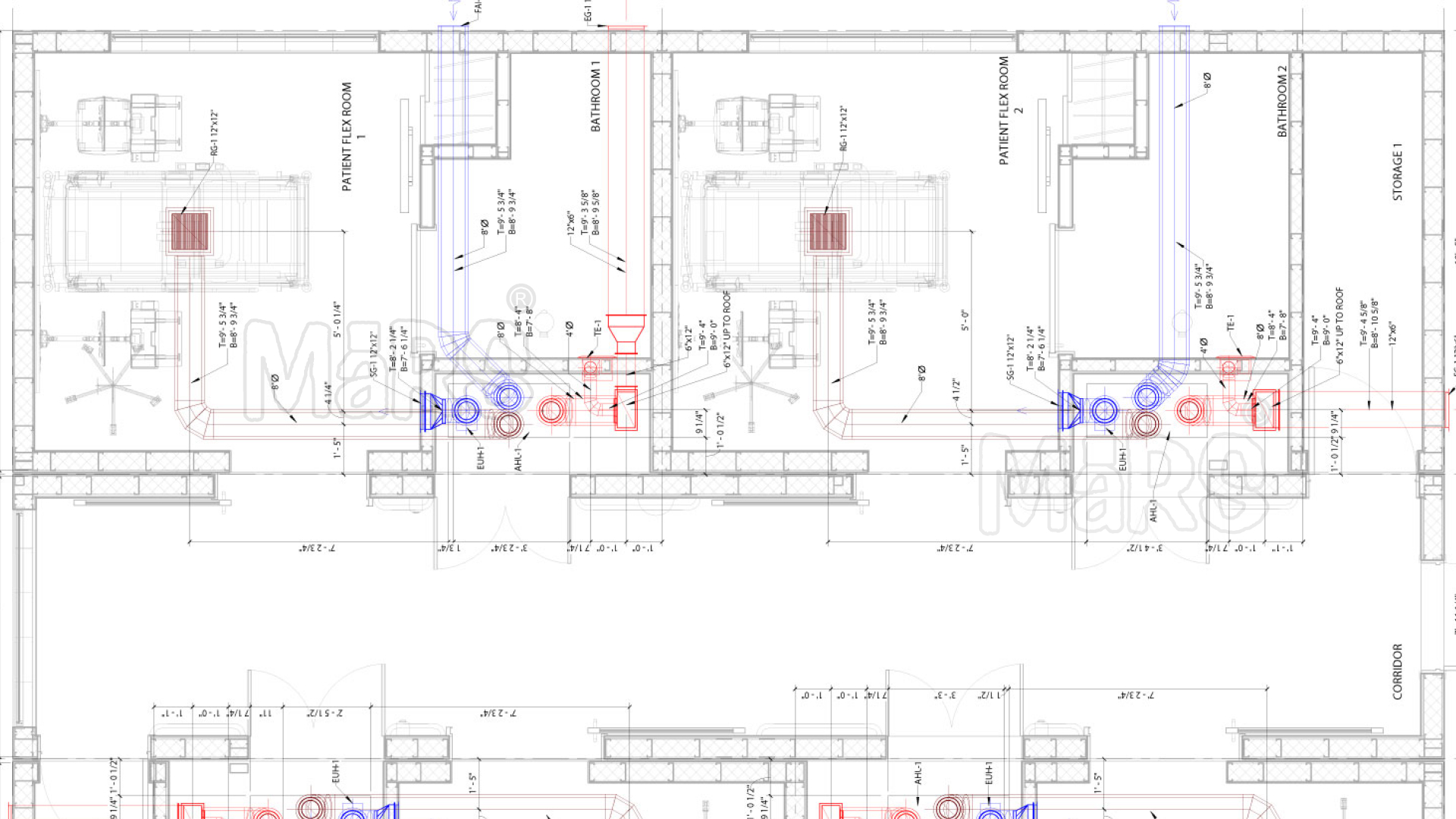
Construction modeling benefits most when it reflects site-specific constraints, and NavVis enables that precision by providing spatially organized point clouds that match construction tolerances. BIM teams working on layout coordination, ceiling congestion, or core alignment can extract critical dimensions directly from scan data without relying on markups or site notes. This reduces back-and-forth between field engineers and modelers, allowing faster decisions on hanger placements, clearance checks, and installation zones. NavVis scans also support zone-based modeling, enabling trade teams to prioritize high-impact areas first such as riser shafts, plant rooms, or corridors, while maintaining alignment with ongoing site progress.
Solving Construction-Specific Pain Points
NavVis strengthens construction workflows by addressing field conditions that typically cause downstream coordination issues. Instead of relying on assumptions or post-installation markups, teams can access verified spatial data during critical phases like layout, MEP rough-in, or façade interface planning. This enhances accuracy where trades overlap, sequencing is tight, and spatial tolerances must be maintained.
- Riser shaft modeling before vertical service installation to avoid clashes across floors
- In-wall verification of electrical and plumbing lines before drywall closure
- Equipment pad alignment using scan-based measurements for generators, chillers, or pumps
- Duct drop coordination in service corridors with low ceiling clearance
- Anchor bolt and sleeve positioning validated using point cloud references before concrete pours
- Trade-specific zone segmentation in scan to BIM based on site scan data for phased execution
NavVis in Action: Real-World AEC Scenarios
Construction firms use NavVis in time-sensitive environments where access is limited and installation tolerances are tight. During phased MEP installations on high-rise floors, VDC teams scan between slab pours to capture sleeve locations, slab edges, and embedded elements before formwork is removed. In occupied commercial buildings, NavVis supports rapid ceiling scans after duct drops but before fireproofing, allowing trade leads to confirm clearances without delaying follow-on work. On industrial upgrades, contractors capture congested pipe racks over shutdown weekends, enabling modelers to isolate tie-in points and build fabrication-ready BIM inputs aligned with on-site phasing. These targeted uses reduce guesswork, shorten coordination loops, and align modeling output with real construction sequences.
How Contractors and BIM Managers Benefit
- Zone-specific scan data supports floor-by-floor coordination reviews without scanning the full building at once
- Anchor bolt and sleeve checks can be done directly from point clouds before structural pours, reducing layout disputes
- RFI response accuracy improves, as BIM managers use 360° visuals and measurements to resolve field queries remotely
- Scan-informed routing decisions for duct drops, cable trays, or sprinkler heads help avoid rework during ceiling closure
- Installation-ready BIMs created from NavVis scans allow subcontractors to align fabrication with site conditions
- Site logistics planning becomes more precise by using captured geometry to map hoist positions, crane paths, or laydown zones
- Trade sequencing optimization, as contractors visualize scanned progress zones and plan next steps with updated context
Beyond Construction: Paving the Way for Digital Twins
NavVis-generated spatial data brings long-term value by supporting structured digital environments that transition smoothly from construction to building operations. During project closeout, teams can deliver BIM models enriched with accurate geometry, equipment positions, and installation history all linked to verified site conditions. This forms the foundation for facility dashboards, maintenance planning, and space optimization. Owners and operators benefit from easy access to spatially mapped asset locations, room layouts, and service zones through platforms like NavVis IVION, which enable visual navigation and remote collaboration. The result is a construction-ready digital foundation that continues to serve well beyond handover.
Conclusion
NavVis enhances construction delivery by aligning spatial data capture with real project conditions, trade timelines, and installation tolerances. Its mobile reality capture fits seamlessly into construction workflows enabling Scan to BIM teams to generate reliable models that support layout planning, zone-specific coordination, and field execution. With structured outputs and integration-ready data, project stakeholders can transition from model creation to asset management using the same verified geometry. As construction teams continue to prioritize accuracy, speed, and lifecycle integration, NavVis positions itself as a core part of the digital construction ecosystem.


Recent Comments