
AI and LiDAR in Urban Planning: A New Era of Smart Mobility
AI-enhanced LiDAR is redefining how urban plannings are conceptualized, modeled, and managed. By combining precise spatial data with intelligent automation, urban planners and AEC professionals gain the tools to build cities that respond in real-time to environmental conditions, population dynamics, and transportation demands. This convergence drives a shift from static master plans to adaptive systems […]
How Leica RTC360 Aligns with Our Vision for Industry-Leading Solutions
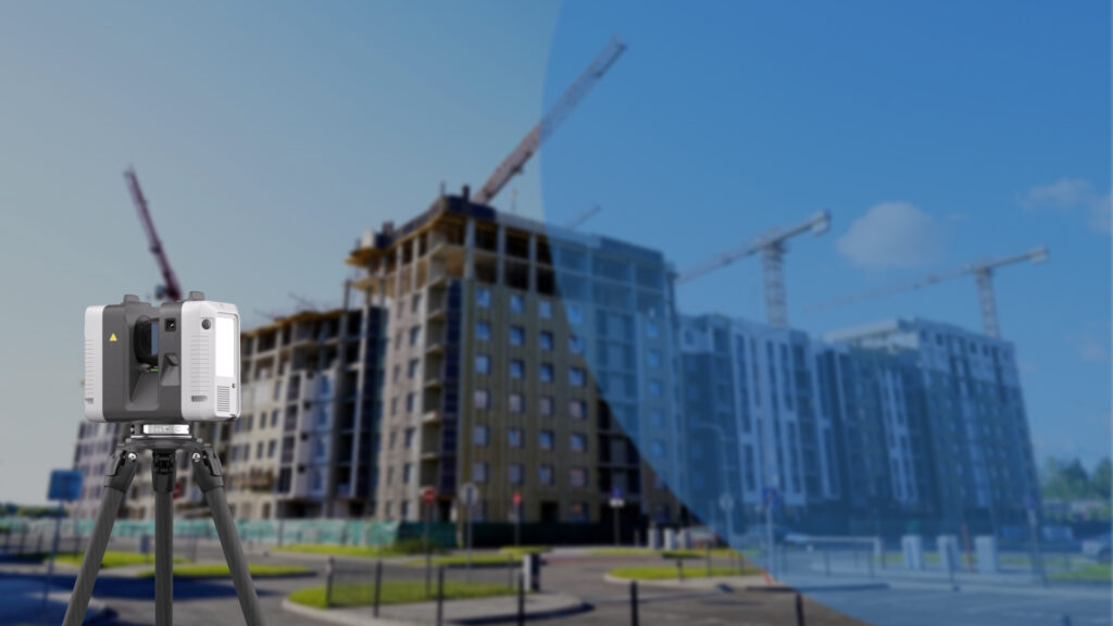
Construction teams today face compressed schedules, increased model dependencies, and stricter quality control mandates. To keep pace, firms are shifting from manual verification to automated, high-fidelity data capture that fits directly into BIM coordination environments. The change involves both advancing technology and the evolving role of spatial data as a live, operational asset. With tools […]
Using FARO Technology to Simplify Scan to BIM Conversion
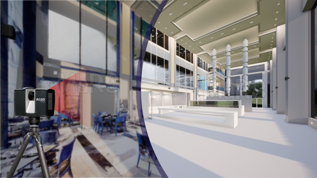
Modern construction projects benefit from tools that connect physical site progress with digital accuracy. FARO technology provides high-precision laser scanning that captures real-world conditions directly from the jobsite. Construction teams use this data to generate detailed models that reflect actual site geometry enabling more confident coordination between design, engineering, and installation teams. FARO’s strength lies […]
The Role of NavVis in Producing High Quality BIM Models
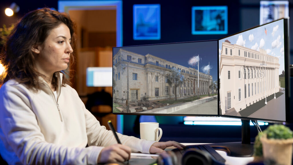
Modern construction sites operate as fast-paced ecosystems where coordination, accuracy, and timing directly impact outcomes. Large-scale developments and retrofit projects often involve dense structural systems, tight installation tolerances, and overlapping trades. To keep pace with these demands, field teams depend on spatially accurate models that support smooth integration across design, engineering, and construction disciplines. BIM […]
How Scan to BIM Experts Use Matterport for Built Environment Modeling
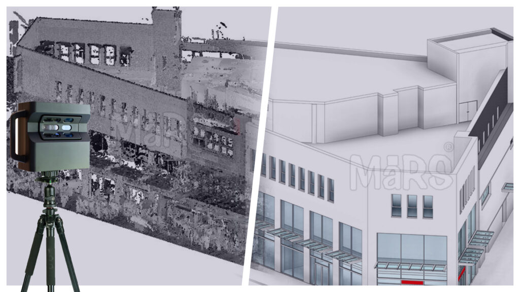
Tight construction timelines and aging building stock have made accurate existing-condition modeling a non-negotiable step in AEC workflows. Scan to BIM enables teams to convert real-world building geometry into coordinated digital models that support renovation planning, design validation, and construction sequencing. This process plays a strategic role in minimizing risk, reducing rework, and ensuring that […]
Photogrammetry Scan to BIM Modeling That Supports Quick and Cost Effective Surveys
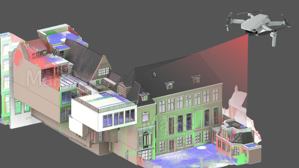
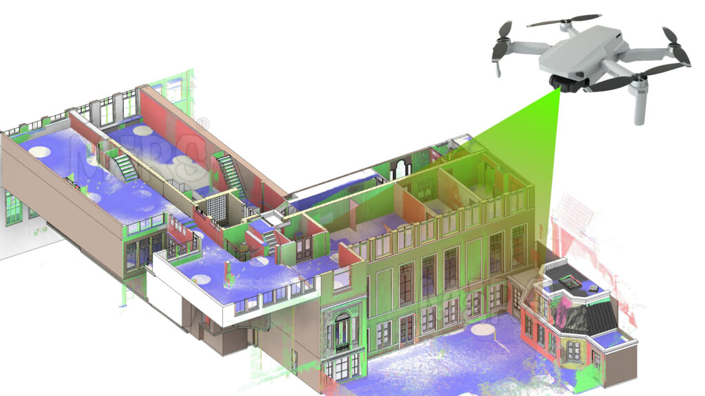
Scan to BIM using photogrammetry provides construction teams with fast, high-fidelity digital models derived from actual site conditions. By capturing overlapping images through drones or handheld devices, photogrammetry reconstructs existing buildings, structures, and terrain with precision. These outputs feed directly into BIM platforms like Revit, enabling accurate planning, coordination, and construction modeling from the earliest […]
From Site Scans to Smart Models with Reality Capture to BIM Solutions

Digital precision is now a baseline expectation in construction projects involving complex geometries, phased execution, and tight tolerances. Survey-grade data acquisition has moved beyond manual tape and total station methods, making way for laser scanning, LiDAR, and photogrammetry-based solutions that generate comprehensive spatial datasets. These technologies form the backbone of Reality Capture, enabling exact replication […]
How Engineers Use Scan to CAD Services for Structure Validation
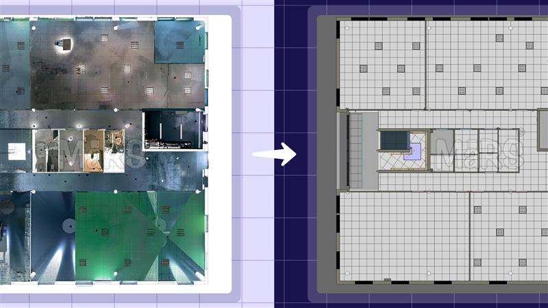
Structural deviations on-site can trigger a chain reaction of delays, cost escalations, and design conflicts across AEC projects. Whether it’s a misaligned column affecting façade installation or an uneven slab disrupting partition layouts, engineers are expected to catch these discrepancies early, often under compressed schedules and complex coordination environments. The need for precise validation before […]
What Are Lidar Scan to BIM Services and Why Your Project Needs Them?

LiDAR Scan to BIM integrates high-resolution laser scanning with BIM modeling to capture and represent existing built environments with exceptional geometric accuracy. It begins with the collection of spatial data using LiDAR technology, which emits pulsed laser signals to generate millions of 3D coordinates, forming dense point clouds. The datasets are aligned to project-specific coordinate […]
The Role of Digital Twin in Laser Scanning and Building Lifecycle Management

Modern construction projects need more than just design coordination and basic construction drawings. They also need accurate data at every stage, reliable building performance, and smart planning across the entire building lifecycle. As AEC companies move toward performance-focused delivery, traditional BIM methods aren’t enough. They struggle to support building operations, predictive maintenance, and managing ongoing […]