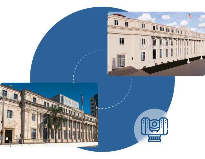
Photogrammetry Scan to BIM Modeling
Discover accurate and cost-effective Photogrammetry Scan to BIM Modeling services with Scan to BIM Solutions. We create detailed 3D BIM models from photogrammetry data for architecture, construction, and more.

Photogrammetry Scan to BIM Modeling Services
Photogrammetry is reorganize the way we capture and interpret real-world environments for BIM. By using high resolution images taken from multiple angles, photogrammetry enables the creation of highly accurate 3D models that can be used in design, construction, and facility management. At Scan to BIM Solutions, we provide best Photogrammetry Scan to BIM Modeling services, converting photogrammetry data into detailed BIM models that drive smarter project decisions. Our expertise serves industries ranging from architecture to large scale infrastructure projects.
As a cutting edge technology, photogrammetry bridges the gap between traditional surveying methods and the modern demands of BIM workflows. By capturing data through photographs, we can recreate complex structures, landscapes, and building environments without the need for intrusive scanning equipment. This not only makes the process more accessible and cost effective but also ideal for hard to reach or sensitive locations, such as historical buildings or densely populated urban areas.
Additionally, our Digital Twin from Laser Scanning Services enhances the accuracy and utility of these models, offering a comprehensive view of the physical world in real-time, which further optimizes decision-making and project execution.
At Scan to BIM Solutions, our skilled team utilizes the latest photogrammetry software and equipment to deliver models that are both highly detailed and accurate. Whether you’re working on a renovation project or documenting an entire construction site, we ensure that the data we provide integrates seamlessly with your BIM platform. Our commitment to quality, precision, and innovation makes us a trusted partner for all your photogrammetry Scan to BIM needs.
Photogrammetry also allows for better decision making throughout the construction lifecycle. With access to detailed 3D models, stakeholders can easily visualize real world conditions, identify potential challenges, and coordinate more effectively with design and construction teams. This streamlined collaboration leads to better project outcomes, reduced errors, and increased savings making photogrammetry an essential tool in modern BIM processes.
What is Photogrammetry?
Photogrammetry is the process of capturing photographs from various angles to reconstruct real-world objects or environments in 3D. These 2D images are analyzed by specialized software, which identifies overlapping points in the photos to create detailed 3D models. As a core component of Scan to BIM workflows, photogrammetry helps to deliver precise and data-rich models that align with modern construction and facility management needs.
Our Photogrammetry Scan to BIM Workflow
Data Collection
We collaborate with clients or third-party providers to receive high-resolution photogrammetry data captured through scanners, drones, or handheld devices.
Data Processing
Using advanced photogrammetry software, we process the collected data into detailed point clouds or 3D models, ensuring precision and accuracy.
BIM Integration
The processed data is then converted into a fully functional BIM model in platforms like Revit or Navisworks, ready for design, construction, or facility management.
Quality Assurance
We perform rigorous quality checks to ensure the BIM model aligns with the original data and meets industry standards.
Why Choose Us?
At Scan to BIM Solutions, we stand out for our commitment to delivering high-quality, detailed BIM models using the latest photogrammetry technology. Our skilled team, advanced tools, and dedication to client satisfaction ensure that your project receives the precision and attention it deserves.
Applications of Photogrammetry in Scan to BIM Projects
- Architecture
- Construction
- Heritage Preservation
- Infrastructure Projects
- Urban Planning
- Mining
- Real Estate and Property Management
- Agriculture and Environmental Monitoring
- Facility Management
