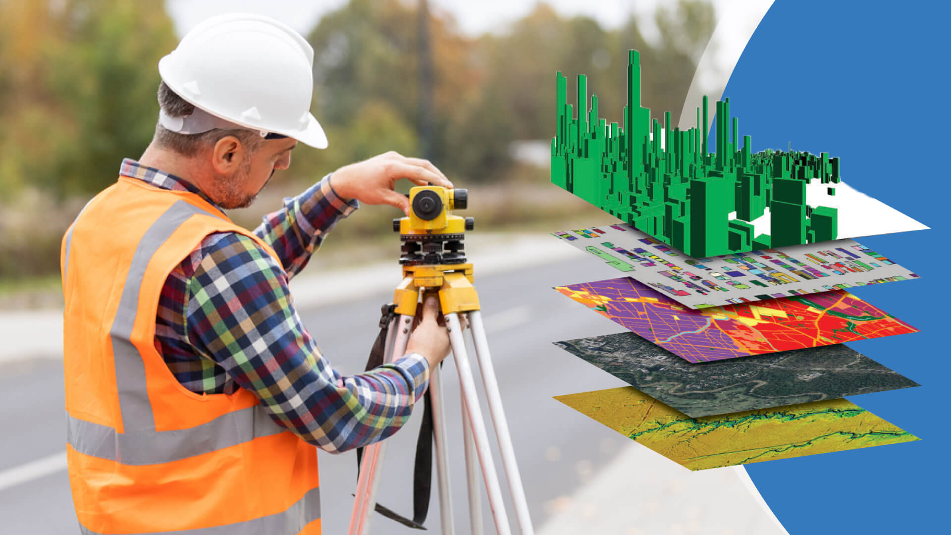
Building Information modeling involves transforming survey data into detailed and accurate digital models. One of the important challenges in this process is managing geometric complexities, which include complex architectural details, irregular shapes, and non-standard structures. Effectively addressing these complexities is crucial for creating reliable BIM models. Here, we summarize strategies to overcome these challenges using Scan to BIM services and advanced surveying techniques.
Understanding Geometric Complexities
Geometric complexities in building surveys refer to the intricate and often irregular features of a structure that make accurate data capture and modeling challenging. These complexities can arise from historical architectures, unique design elements, or structural deformations due to age or environmental factors. Managing these complexities requires a combination of advanced scanning technology, detailed planning, and sophisticated modeling techniques.
Advanced Scanning Techniques
1. Laser Scanning: Laser scanning, or LiDAR (Light Detection and Ranging), is a powerful tool for capturing detailed 3D data of complex geometries. Laser scanners emit laser beams that reflect off surfaces and return to the scanner, measuring the distance and creating a point cloud. This method is highly accurate and can capture complicated details and irregular shapes that traditional surveying methods might miss.
2. Photogrammetry: Photogrammetry involves taking high-resolution photographs from multiple angles and using software for a 3D model. This technique is particularly useful for capturing surface textures and fine details. Merging photogrammetry with laser scanning can provide a complete dataset that includes both geometric and visual information.
3. Merging Scanning Technologies: Combining data from various scanning technologies, such as merging laser scans with photogrammetry, enhances the accuracy and completeness of the point cloud data. This hybrid approach helps capture all aspects of the structure, from intricate details to overall geometry, making it easier to address geometric complexities during BIM conversion.
Effective Data Processing
1. Point Cloud Registration: Point cloud registration is the process of aligning multiple point clouds captured from different angles into a single, cohesive model. Advanced software tools can automatically detect common points and align the data, ensuring that all geometric details are accurately represented. This step is critical for creating a reliable base model for BIM conversion.
2. Noise Reduction: Point cloud data often contains noise, which can cover geometric details. Applying noise reduction techniques, such as filtering and smoothing algorithms, helps clean the data and highlight the essential features. High-quality point cloud processing software can automate this process, ensuring that the data used for BIM modeling is accurate and reliable.
3. Segmentation and Classification: Segmentation involves dividing the point cloud into manageable sections based on geometric features, while classification tags these sections according to their function (e.g., walls, floors, structural elements). This process helps in isolating and focusing on complex geometries, making it easier to model them accurately in BIM software.
Advanced BIM Modeling Techniques
1. Parametric Modeling: Parametric modeling uses algorithms to define the geometry and relationships between different building elements. This approach allows for precise control over complex shapes and ensures that any changes in the model are automatically reflected in related elements. Parametric modeling is particularly effective for capturing and managing geometric complexities in BIM.
2. Custom Families and Templates: Creating custom families and templates in BIM software authorizes the accurate representation of unique or irregular elements. These custom components can be reused and adjusted as needed, providing a flexible solution for modeling complex geometries.
3. Historical Building Information Modeling (HBIM): HBIM is a specialized approach for modeling historical structures, which often have significant geometric complexities. HBIM integrates historical data, such as old drawings and photographs, with modern scanning data to create accurate and detailed models that reflect the structure’s unique characteristics.
Continuous Quality Control
1. Validation Against Survey Data: Regularly validating the BIM model against the original survey data ensures that all geometric details are accurately captured and represented. This process helps identify and correct any discrepancies early, maintaining the model’s reliability.
2. Iterative Review and Refinement: Iterative review and refinement involve continuously assessing and improving the BIM model. By collaborating with stakeholders, including architects, engineers, and surveyors, you can ensure that all geometric complexities are adequately addressed and that the model meets all project requirements.
3. Integration with Project Workflow: Integrating the BIM model with the overall project workflow ensures that any geometric complexities are considered throughout the project lifecycle. This integration allows for better planning, coordination, and execution, resulting in a more efficient and successful project outcome.
Conclusion
Managing geometric complexities in building surveys during BIM conversion is a challenging but essential task. By using advanced scanning techniques, effective data processing, and refined BIM modeling strategies, you can overcome these challenges and create reliable, detailed digital models. Scan to BIM services play a crucial role in this process, providing the tools and expertise needed to capture and manage complex geometries accurately. Implementing continuous quality control measures ensures that the final BIM model is both accurate and reliable, laying a solid foundation for successful construction and renovation projects.