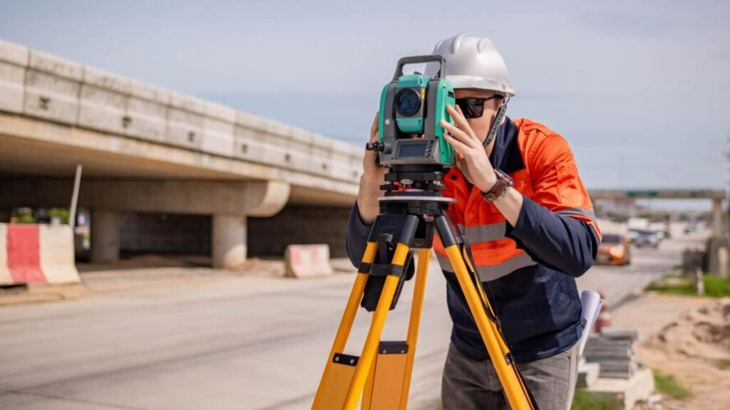
Scan to BIM Services for Utility Surveyors

How Can Scan to BIM Revolutionize Utility Surveyors?
Utility Surveyors play a critical role in maintaining the infrastructure that powers our modern lives. With the integration of Scan to BIM, utility mapping, and asset management have been revolutionized, offering unprecedented accuracy and efficiency. From identifying underground utilities to ensuring seamless integration with urban planning, Scan to BIM provides advanced tools that streamline workflows, enhance visualization, and minimize risks.
Scanning to BIM allows Utility Surveyors to transform raw point cloud data into intelligent 3D models, helping stakeholders visualize subsurface utilities alongside existing infrastructure. This detailed insight aids in better decision-making during construction, renovation, or maintenance projects, ensuring minimal disruptions and improved safety. Additionally, the ability to detect potential clashes early in the design phase reduces costly errors and project delays.
Whether it’s mapping underground pipelines, electrical conduits, or water supply networks, point cloud to BIM services provide precise data integration. This is particularly beneficial for projects requiring compliance with regulatory standards or those involving complex, large-scale utility networks. The enhanced visualization and analysis enable Utility Surveyors to provide actionable insights, making every project efficient and future-ready.
We prioritize equipping Utility Surveyors with cutting-edge BIM models tailored to specific project needs. By leveraging the power of laser scanning and advanced software, we help surveyors accurately interpret data and deliver reliable outcomes for clients across industries.
Benefits of Scan to BIM for Utility Surveyors
- Improved accuracy in mapping subsurface utilities.
- Enhanced decision-making through intelligent 3D models.
- Streamlined workflows for faster project delivery.
- Early clash detection to minimize costly errors.
- Compliance with industry standards and regulations.
- Future-ready solutions for large-scale utility networks.
