Scan to BIM Services for Photogrammetrists
Why Choose Scan to BIM for Photogrammetry?
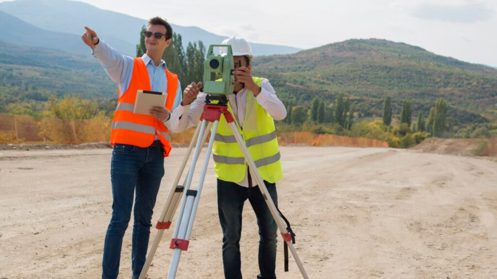
Photogrammetrists play a pivotal role in capturing and analyzing spatial data to create precise models of the physical world. With the advancements in Scan to BIM technology, photogrammetrists can achieve remarkable accuracy and efficiency in their workflows. This service bridges the gap between raw data collection and actionable 3D modeling, providing photogrammetrists with detailed digital models that are essential for diverse applications, including land surveying, construction planning, and urban development.
By using our Reality Capture to BIM services, photogrammetrists gain access to tools that streamline the conversion of photogrammetric data into comprehensive BIM. These models not only enhance the understanding of physical environments but also provide a reliable foundation for collaboration across multiple disciplines. Whether working on large-scale infrastructure projects or intricate historical restorations, photogrammetrists benefit from an integrated approach that ensures precision at every stage.
Photogrammetrists often face the challenge of transforming complex point cloud datasets into actionable insights. Scan to BIM solutions simplify this process by automating key steps, reducing manual effort, and minimizing errors. High-resolution 3D models generated through this service allow for better visualization, precise measurements, and efficient decision-making. The ability to integrate geospatial data seamlessly with BIM workflows ensures that every detail, from terrain contours to architectural elements, is accurately represented.
Benefits of Scan to BIM for Photogrammetrists
- Simplifies the conversion of photogrammetric data into 3D models.
- Improves precision in spatial analysis and measurements.
- Reduces manual effort with automated data processing.
- Enables seamless integration of geospatial data into BIM.
- Improves collaboration across teams.
- Offers superior visualization for informed decision-making.