Scan to BIM Services for Landscape Architects
What Our Scan to BIM Solutions Offers Landscape Architects?
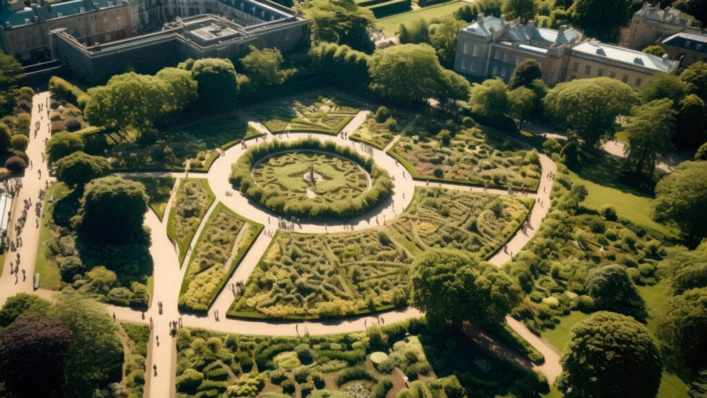
We understand the key role that Landscape Architects play in the planning and design of outdoor spaces. From parks and gardens to urban developments, your work brings nature and built environments into harmony. Our Scan to BIM services provide you with accurate, detailed, and data-rich 3D models that help streamline your design process and ensure precision in your projects.
Utilizing advanced laser scanning and BIM technology, we convert existing landscape features into digital models that can be easily integrated into your design workflow. Whether you’re working on a historic garden restoration, creating a new urban park, or designing intricate irrigation systems, our solutions are tailored to meet your specific needs.
By working with us, you’ll have access to detailed topographical data, precise measurements, and 3D representations of your project site. Our services enable you to make informed decisions throughout the design and construction phases, reducing errors and improving project outcomes. Scan to BIM Solutions enhances collaboration between teams and ensures that your vision is realized with the highest level of accuracy and efficiency.
By using our Scan to BIM services, Landscape Architects can ensure that their projects are executed with the utmost precision, creativity, and efficiency. Whether enhancing existing environments or designing new landscapes, we’re here to support every step of the process.
Benefits of Scan to BIM for Landscape Architects
- Accurate 3D models for precise site planning and design.
- Improved visualization for effective communication with clients and stakeholders.
- Streamlined workflows, saving time and reducing the risk of errors.
- Improved sustainability by optimizing material and resource management.
- Seamless integration with other design teams, enhancing collaboration.
- Ability to manage complex, data-rich landscapes with ease.