Scan to BIM Services for Infrastructure Surveyors
How Can Scan to BIM Services Infrastructure Surveying?
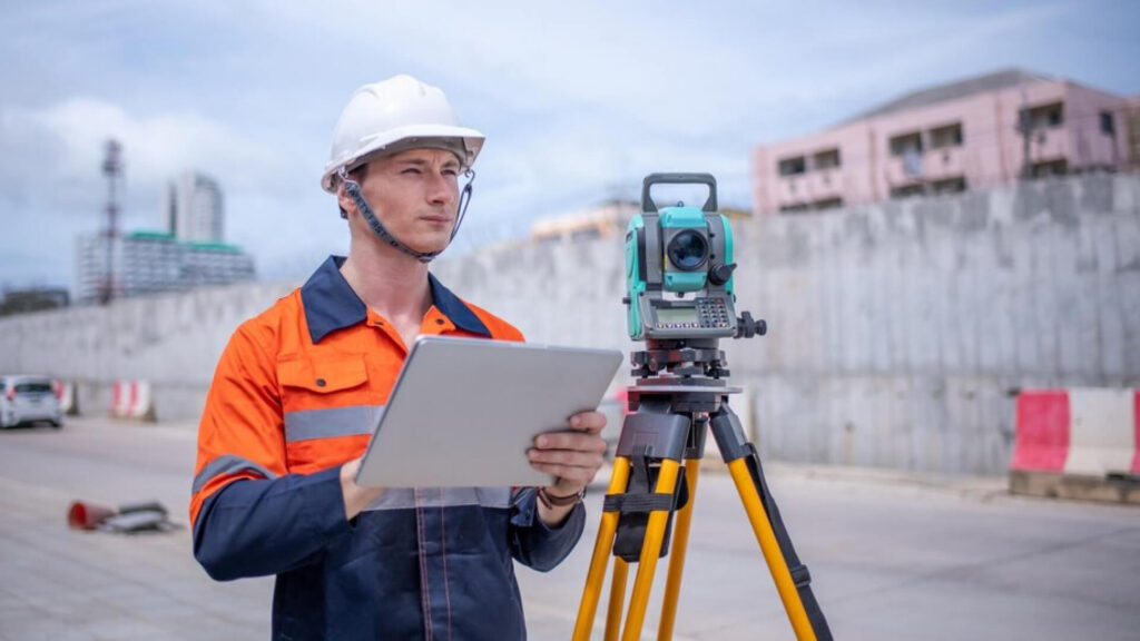
Infrastructure surveyors play a pivotal role in mapping out complex infrastructure projects, from roads and bridges to utility networks. Their work demands precision, accuracy, and the ability to capture real-world conditions in a manner that allows for detailed analysis and informed decision-making. We recognize the importance of these professionals in shaping the future of infrastructure development. With our advanced Scan to BIM services, we provide infrastructure surveyors with the tools needed to enhance their surveying and mapping workflows, ensuring that the data captured can be transformed into actionable insights and integrated into BIM systems.
Our Scan to BIM services offer infrastructure surveyors the ability to produce highly detailed 3D models of existing conditions, even in environments that are difficult to access or in areas with complex features. With LiDAR technology, point clouds, and advanced scanning techniques, we capture every detail with exceptional accuracy. This data is then converted into a comprehensive 3D model that can be used for analysis, design, and project management, ensuring that surveyors and engineers are equipped with the most reliable information.
Through Scan to BIM, infrastructure surveyors can bridge the gap between traditional surveying methods and modern BIM practices, creating a seamless workflow that improves project efficiency, reduces risks, and enhances collaboration between teams. Our solutions are tailored to meet the specific needs of infrastructure surveyors, empowering them to deliver projects with greater confidence and success.
Benefits of Scan to BIM for Infrastructure Surveyors
- Minimize risks by providing clear, updated modeling for infrastructure projects.
- Achieve unparalleled accuracy in site data capture.
- Ensure comprehensive and reliable documentation of existing infrastructure.
- Facilitate the transition from surveying to design with seamless BIM integration.
- Improve collaboration across multidisciplinary teams.
- Enhance workflow efficiency by converting point clouds to 3D models.