Scan to BIM Services for Hydrographic surveyors
How Scan to BIM Solutions Empowers Construction Surveyors?
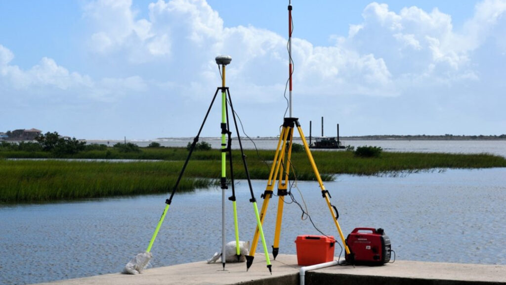
Hydrographic surveyors rely on precise data to map and analyze underwater terrains for a wide range of projects, from coastal development to offshore construction. We provide tailored support to transform hydrographic survey data into accurate 3D models and digital representations. By using advanced BIM workflows, we enable hydrographic surveyors to better visualize underwater environments, optimize project planning, and enhance collaboration with project stakeholders.
Our point cloud to BIM services bridges the gap between survey data and actionable insights, ensuring hydrographic surveyors have access to cutting-edge solutions for their unique challenges. From detailed topographic models to comprehensive bathymetric visualizations, we provide the tools needed for precision and efficiency.
Benefits of Scan to BIM for Construction Surveyors
- Enhance underwater terrain visualization for comprehensive project analysis.
- Improve collaboration with stakeholders through dynamic 3D models.
- Ensure data accuracy in bathymetric mapping and reporting.
- Streamline project planning with detailed topographic representations.
- Reduce errors and rework with integrated BIM processes.
- Facilitate seamless integration of survey data into design workflows.