Scan to BIM Services for Geodetic Surveyors
How Scan to BIM Solutions Elevates Geodetic Surveyors
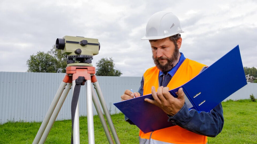
Geodetic Surveyors play a crucial role in the accuracy and precision of surveying and mapping land for construction, infrastructure, and environmental projects. Their expertise in measuring large-scale land surfaces and determining positions and elevations is vital for successfully integrating geospatial data into BIM systems. With an ever-growing need for precision in construction and design, Geodetic Surveyors partner with us to accurately translate complex site data into actionable, detailed models. Our specialized scan to BIM services cater to their precision needs, ensuring all topographical and geodetic information is captured and reflected in the most reliable 3D models.
We understand that the work of Geodetic Surveyors must be seamlessly integrated into the BIM process. We specialize in providing accurate point cloud data conversion, 3D modelling, and BIM integration services that preserve the integrity of their measurements. By partnering with us, geodetic surveyors can ensure their fieldwork data is captured precisely and translated into actionable, collaborative 3D models that support construction, design, and future planning.
We guarantee that Geodetic Surveyors can rely on high-quality models that align with their measurements for large infrastructure projects, land development, or environmental assessments. Our advanced techniques, supported by the latest technologies, offer a perfect solution to integrate geospatial data into BIM systems, enhancing the effectiveness and efficiency of construction and design processes.
Benefits of Scan to BIM for Geodetic Surveyors
- Seamless integration of field data into BIM models, ensuring accuracy.
- Enhanced collaboration between surveyors and other stakeholders.
- Ability to visualize topographic data in 3D, improving project planning.
- Improved precision in land development projects.
- Access to reliable, up-to-date models for ongoing monitoring and assessments.
- Efficient and cost-effective workflow from surveying to final BIM deliverables.