Scan to BIM Services for Environmental Surveyors
How Can Scan to BIM Services Revolutionize Environmental Surveying?
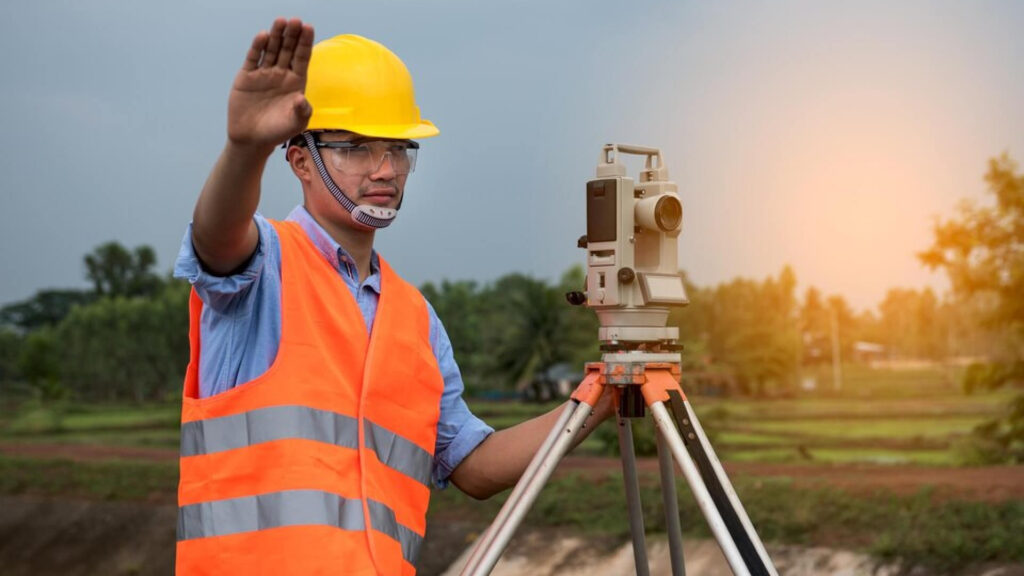
Environmental surveyors play a crucial role in gathering, analyzing, and interpreting data related to the environment and its various factors. Their expertise in environmental conditions and impacts is key in supporting projects that require detailed spatial data and in ensuring the natural environment is protected. In the world of Scan to BIM, environmental surveyors are integral stakeholders who help streamline the creation of accurate and reliable digital models that reflect the physical world.
We understand the need for precise environmental data to support your work in environmental planning, land management, and conservation efforts. Through our Scan to BIM services, we offer cutting-edge technology that combines laser scanning and photogrammetry to capture accurate, high-resolution data for a range of applications. By transforming raw environmental survey data into intelligent 3D models, we empower you to make informed decisions that ensure sustainability, minimize environmental impact, and optimize your workflow.
We ensure that the environmental data you gather is translated into comprehensive, actionable insights. Whether it’s an environmental impact assessment, habitat mapping, or flood modeling, our BIM solutions provide the tools you need to turn complex environmental data into easy-to-navigate models. This integration of survey data into BIM makes it easier to assess, manage, and share findings with stakeholders across projects.
With us, environmental surveyors gain access to precise, up-to-date models that reflect the true state of the environment, helping inform design decisions, construction planning, and resource management strategies. This accurate modeling supports environmentally sensitive projects, enhancing efficiency and ensuring compliance with environmental regulations and standards.
Benefits of Scan to BIM for Environmental Surveyors
- Better visualize environmental impacts through 3D modeling and simulations.
- Simplify data integration and reduce time spent on manual measurements.
- Enhance collaboration across multidisciplinary project teams.
- Ensure compliance with environmental regulations with precise, updated models.
- Increase the quality of environmental monitoring and decision-making.
- Improve accuracy in environmental assessments and reports.