Scan to BIM Services for Engineering Surveyors
How Scan to BIM Solutions Empowers Engineering Surveyors?
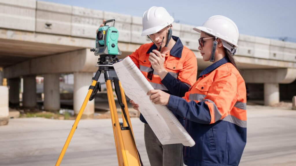
We provide precision-driven services designed to support the needs of Engineering Surveyors in the digital age. Our team understands the complexity of engineering surveys and how crucial accurate data is to any project. We specialize in transforming raw survey data into a comprehensive and easily interpretable BIM model, ensuring that every detail is captured and every measurement is precise.
Our Scan to BIM services are designed to streamline workflows, enhance accuracy, and improve collaboration between all stakeholders involved in engineering projects. With advanced scanning technology, we convert traditional survey data into detailed 3D models, making it easier for engineering surveyors to visualize and manipulate site conditions, reducing the risk of errors during design and construction.
We recognize the importance of accuracy and the need for reliable, updated data in the field of engineering surveying. Our services ensure that you have access to the most accurate, current, and easily interpretable models to aid your work. Whether creating a digital twin of a site, documenting an existing structure, or laying the groundwork for new developments, Scan to BIM Solutions is your partner in providing efficient and precise modeling services.
Our approach efficiently integrates various surveying data types into a unified 3D model, enhancing the decision-making process throughout the project’s lifecycle. Engineering surveyors can utilize these models for detailed analysis, design, and visualization, significantly improving project outcomes.
With us, Engineering Surveyors can confidently rely on modern technology to improve project accuracy, collaboration, and efficiency. Let us help you bring your survey data to life with precision and speed.
Benefits of Scan to BIM for Engineering Surveyors
- Streamlined project workflow with accurate 3D models.
- Reduced errors and costly rework during design and construction.
- Improved data accessibility and ease of visualization.
- Advanced collaboration with other project stakeholders.
- Efficient integration of multiple data sources into one model.
- Improved ability to analyze complex site conditions.