LiDAR Scan to BIM Services
Our comprehensive LiDAR Scan to BIM services deliver precise and detailed 3D models tailored for construction, renovation, and heritage projects. By harnessing the power of LiDAR technology, we ensure that every detail is captured accurately, facilitating seamless project execution and superior outcomes.
LiDAR Scanning for Precise BIM Models
LiDAR technology is revolutionizing the way we capture and represent physical spaces in the digital realm. By using laser pulses to measure distances and create highly accurate 3D representations, LiDAR enables us to gather detailed information about complex environments. Our LiDAR Scan to BIM services integrate this cutting-edge technology with BIM, allowing for the creation of rich, informative 3D models that support various stages of construction and architectural projects. Accurate data capture is crucial in ensuring that projects proceed smoothly, minimizing errors and enhancing collaboration among stakeholders.
Our dedicated team of professionals with extensive experience in both LiDAR technology and BIM processes. Our experts are equipped with advanced knowledge and skills, ensuring that each project is handled with the utmost precision and care. We utilize state-of-the-art LiDAR scanning equipment and cutting-edge software for data processing and modeling, enabling us to deliver high-quality results efficiently. Our team’s commitment to continuous learning and innovation ensures that we stay ahead of industry trends and advancements.
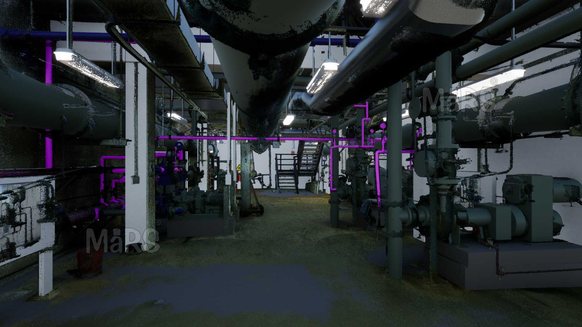
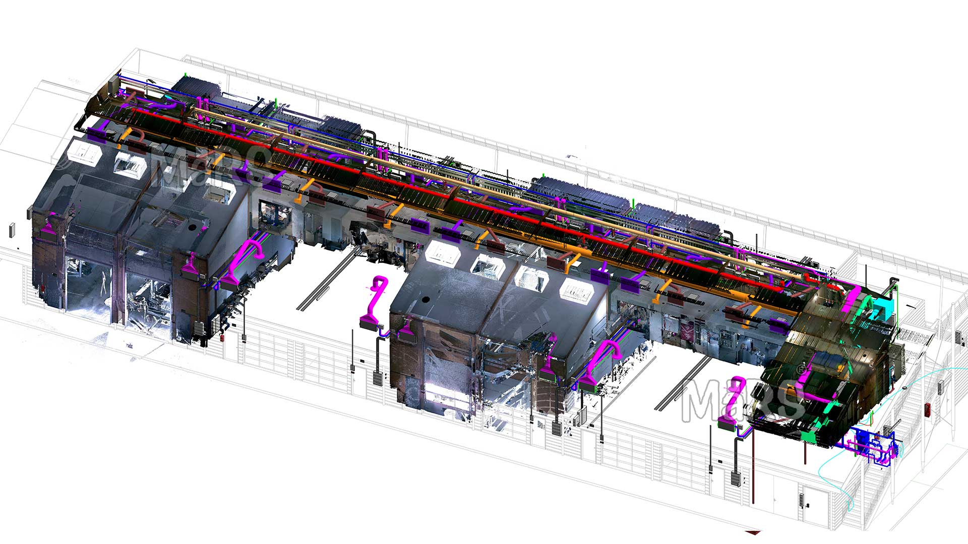
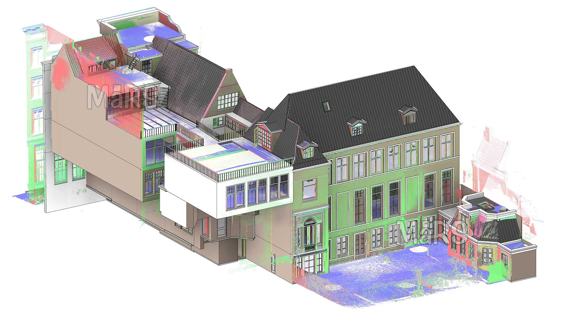
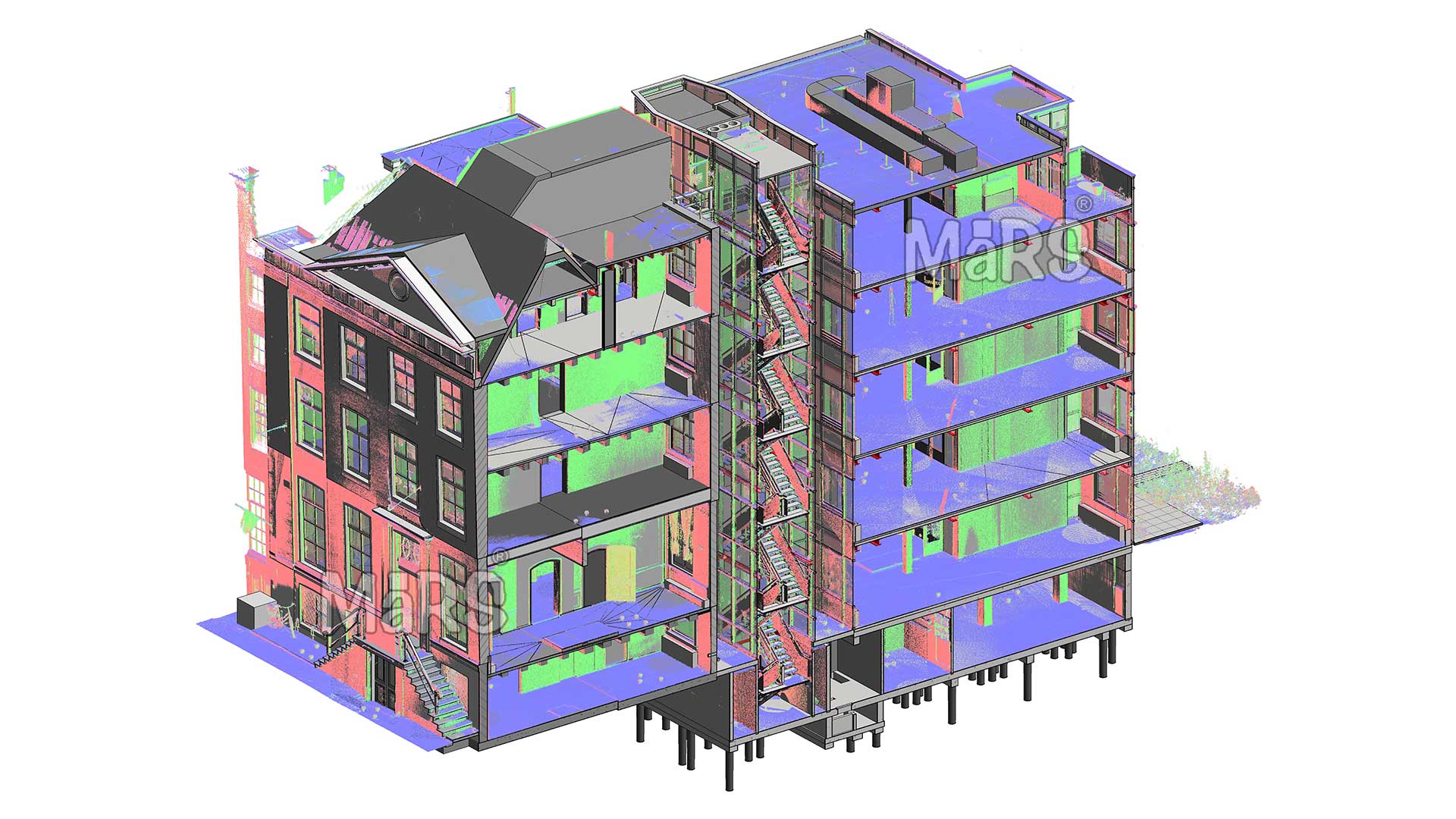
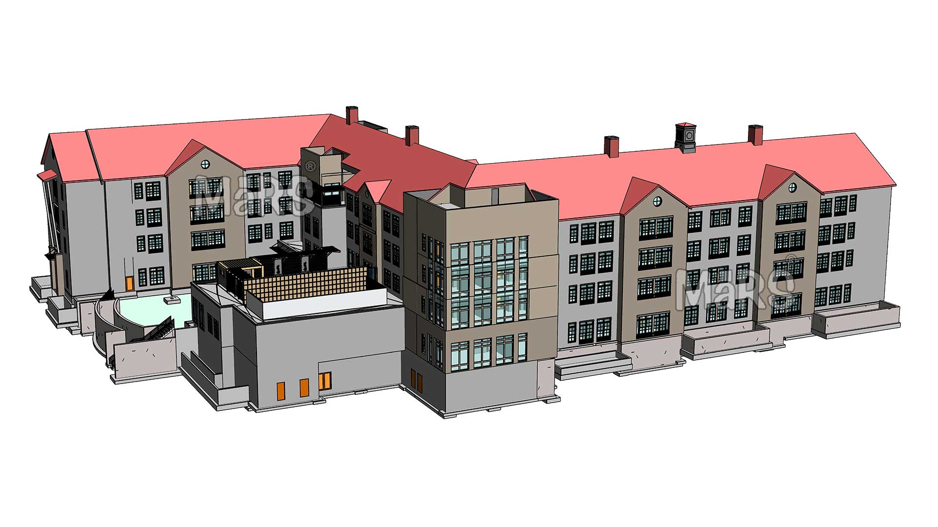
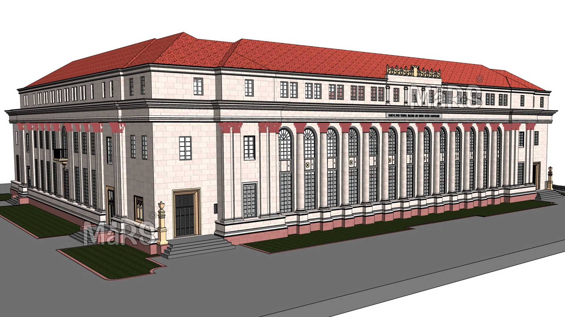
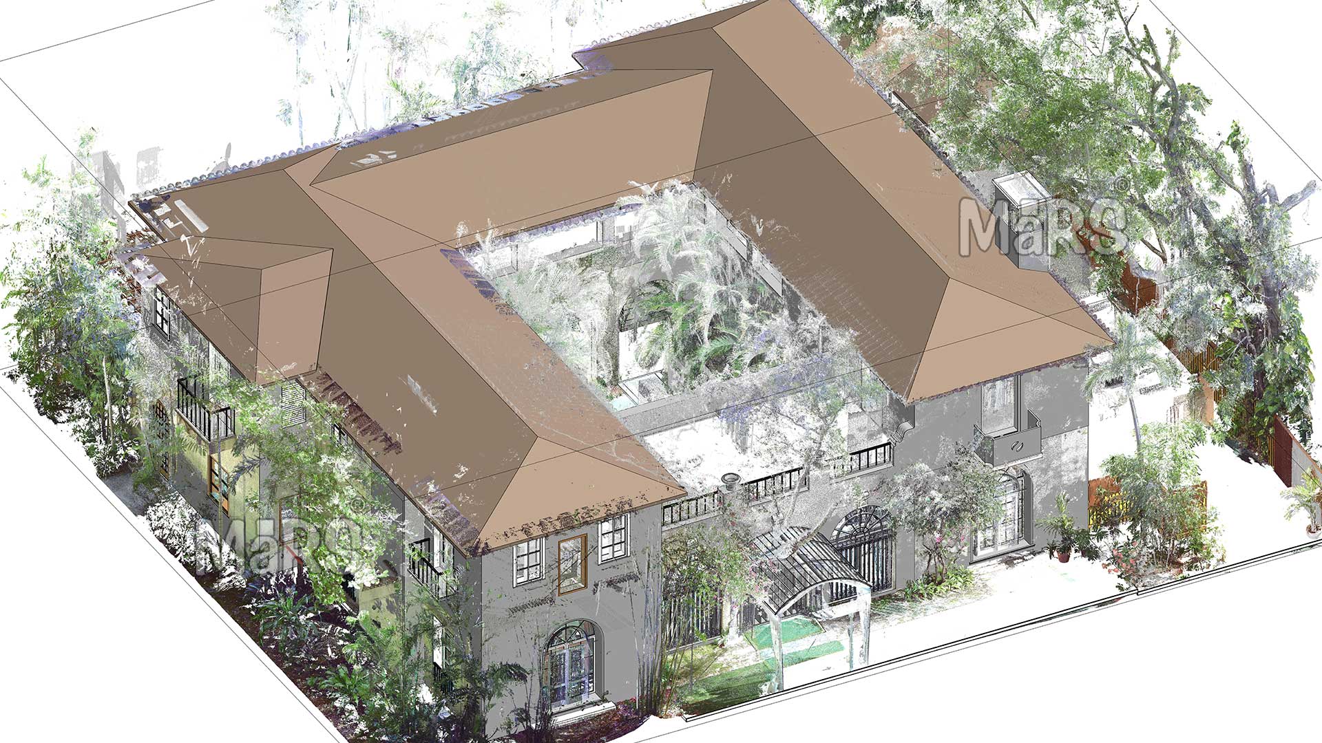
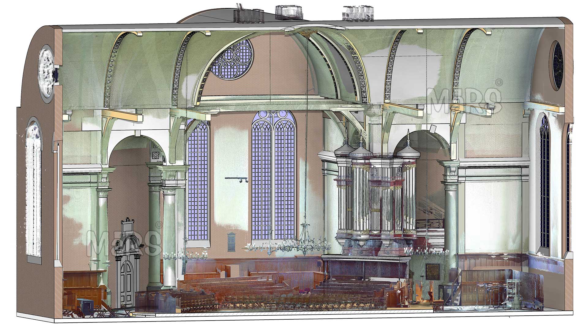
We have successfully completed a diverse range of LiDAR Scan to BIM projects across various sectors, including residential, commercial, and heritage preservation. Our portfolio showcases notable projects that highlight our capability to manage complex environments and deliver tailored solutions. Our services also include Point Cloud to BIM Conversion, ensuring that even raw scan data is transformed into actionable, structured models for your project needs.
Our approach to delivering LiDAR Scan to BIM projects is systematic and client-centered. The process begins with an initial consultation, where we discuss project goals, timelines, and specific requirements. Once the scope is defined, our team conducts on-site LiDAR scanning to capture the necessary data. After data acquisition, we utilize advanced processing techniques to create accurate and detailed BIM models.
What is LiDAR Scan to BIM Services?
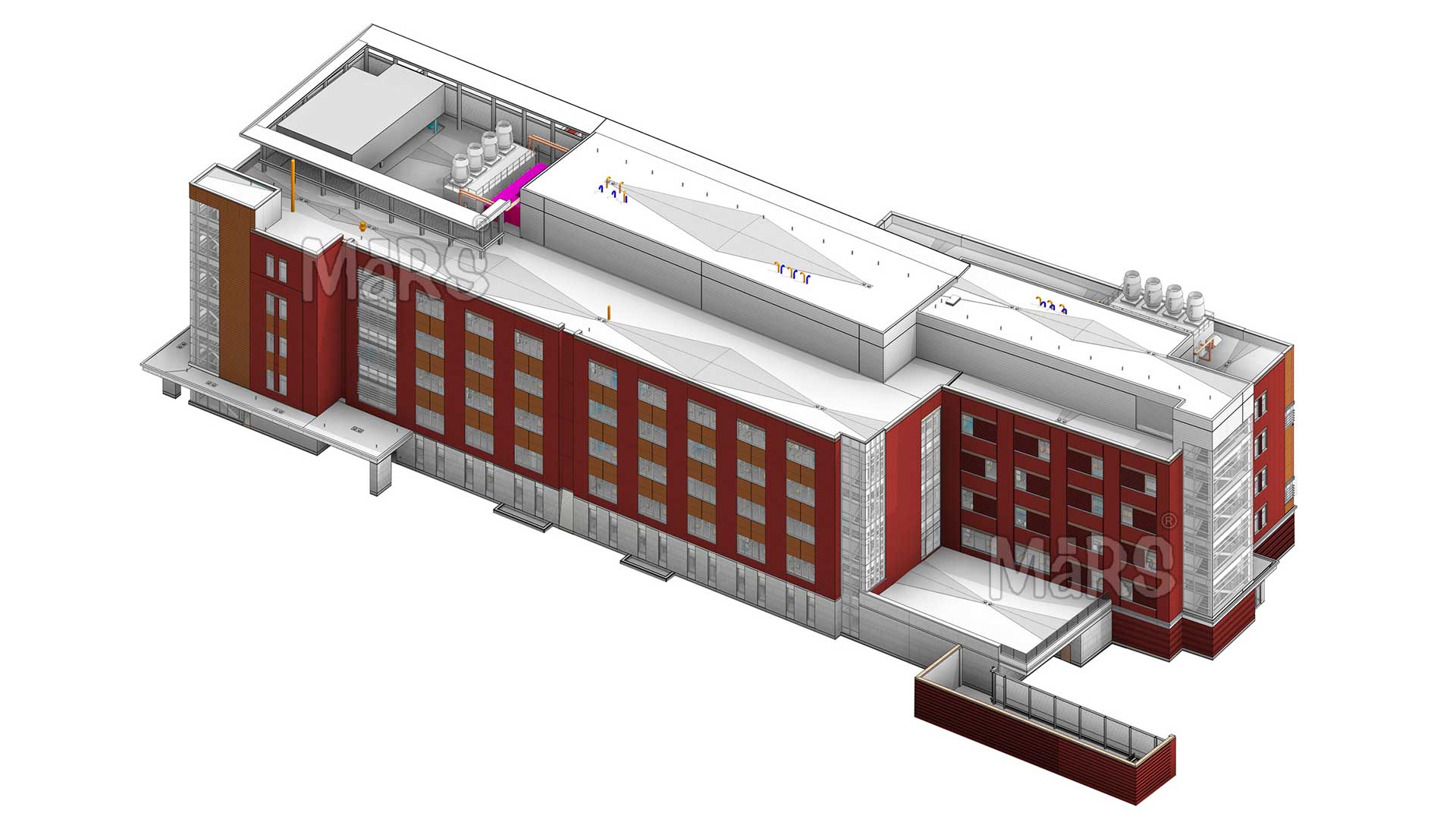
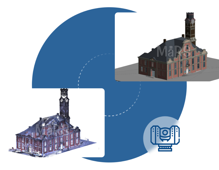
LiDAR Scan to BIM services encompass the integration of LiDAR technology with Building Information Modeling to create highly detailed and accurate 3D representations of physical environments. By employing laser scanning techniques, we capture the precise dimensions, geometry, and features of existing structures. These data points are then processed and transformed into BIM models, which serve as valuable resources for design, analysis, and construction management.
Our Process for LiDAR Scan to BIM Projects
LiDAR Data Acquisition
Using cutting-edge LiDAR technology, our team captures high-resolution point cloud data of the site. We employ various scanning techniques based on project needs. During this phase, we capture intricate details, including structural elements, topography, and environmental features, ensuring comprehensive coverage of all relevant aspects.
BIM Model Development
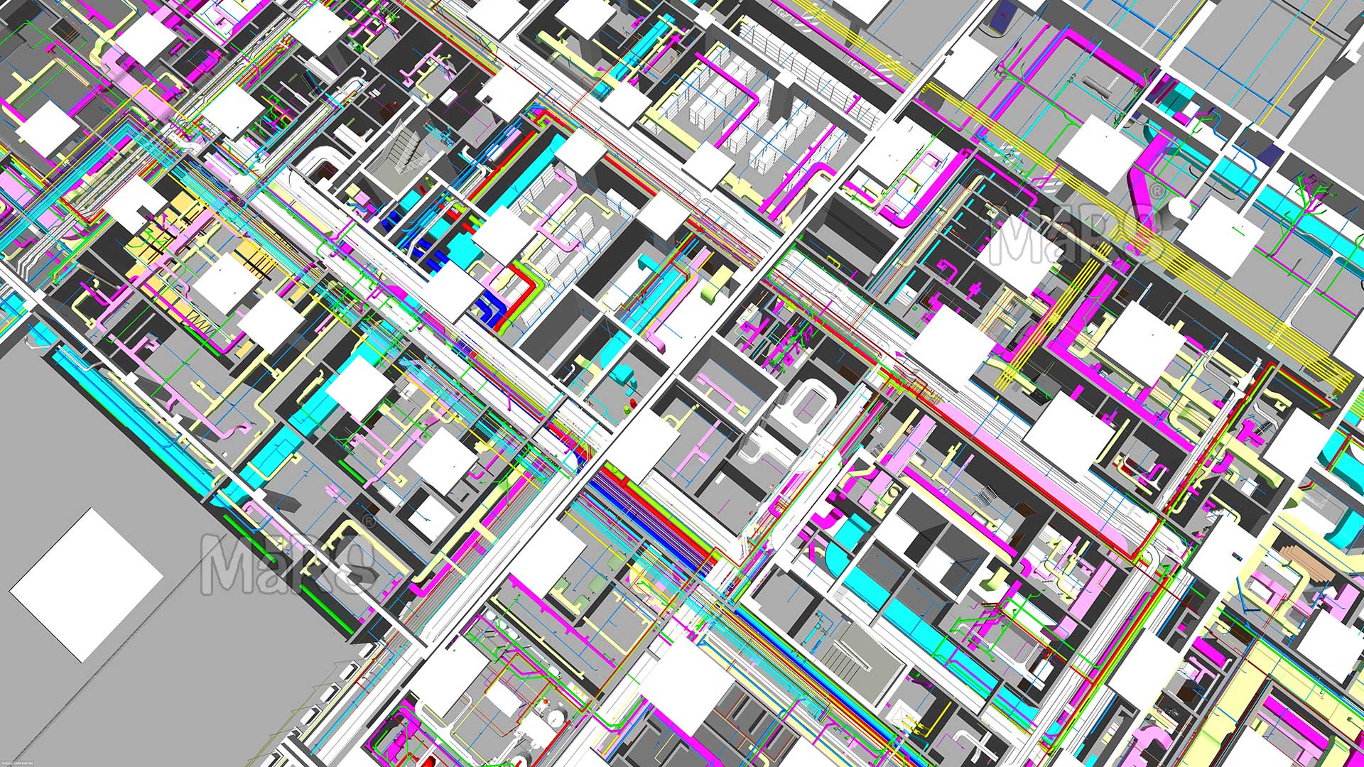
Our team utilizes the processed point cloud data to create a highly detailed BIM model. We incorporate architectural, structural, and MEP elements, following industry standards to ensure the model’s interoperability with various software platforms.
Client Review and Revisions
Once the initial BIM model is developed, we facilitate a structured review session with you. During this session, we walk you through the model, highlighting key features and functionalities. Your feedback is invaluable, allowing us to make any necessary adjustments or enhancements.
Continuous Improvement and Feedback
We prioritize client feedback as a key component of our service model. After project completion, we conduct follow-up surveys and interviews to gather insights regarding your experience and satisfaction.
Benefits of Point Cloud Modeling Projects
- LiDAR technology captures precise dimensions and details, minimizing errors in the BIM model.
- Quick data collection over large areas accelerates project timelines.
- Captures intricate geometries and hard-to-reach areas, ensuring a complete understanding of the site.
- 3D models provide clear visual representations for better stakeholder communication.
- Unified models foster teamwork among architects, engineers, and contractors.
- Integrating LiDAR data enhances efficiency throughout the project lifecycle.
- Accurate as-built models simplify planning for modifications and retrofits.
- Non-invasive data collection helps maintain the integrity of historical buildings.
Why Choose Us?
Selecting our LiDAR Scan to BIM services means partnering with a company dedicated to quality and client satisfaction. Our experienced team, advanced technology, and proven track record set us apart from competitors. We are committed to understanding your unique needs and delivering tailored solutions that drive success. With us, you can expect transparency, reliability, and excellence in every project.
FAQS
LiDAR (Light Detection and Ranging) is a remote sensing technology that uses laser pulses to measure distances to the Earth’s surface. A LiDAR scanner emits rapid laser pulses and captures the reflected light to create a highly detailed 3D point cloud representation of the scanned environment. This data can be used for various applications, including topographical mapping, surveying, and creating accurate 3D models.
Unlike traditional surveying, which relies on manual measurements and physical markers, LiDAR Scan to BIM captures vast amounts of data quickly and accurately, creating a comprehensive point cloud of the site. This method reduces human error, allows for capturing complex geometries, and significantly speeds up the data acquisition process.
LiDAR Scan to BIM services are beneficial for various projects, including historical renovations, large infrastructure developments, building design, and facility management. It is especially useful for complex structures, sites with intricate details, and areas that require accurate as-built documentation.
The turnaround time varies depending on the project’s size and complexity. Generally, data acquisition can be completed within a few days, followed by several weeks for data processing, modeling, and client reviews. Our team works to deliver results as quickly as possible while ensuring quality.
Yes, LiDAR-generated BIM models are designed to be compatible with various software platforms, including Autodesk Revit, Navisworks, and other BIM applications. This interoperability allows for seamless integration into existing workflows and enhances collaboration among project teams.
The resolution of LiDAR data can vary based on the equipment used and the scanning settings. Typically, high-resolution scans can capture point densities ranging from 1 to 100 points per square meter, depending on the level of detail required for the project.
Deliverables typically include a detailed BIM model, point cloud data, comprehensive documentation (such as modeling standards and specifications), and user guidelines for navigating and utilizing the model effectively.
While LiDAR is highly effective, it may have limitations in areas with dense vegetation, reflective surfaces, or adverse weather conditions that can affect data accuracy. We assess site conditions during the initial consultation to identify potential challenges and plan accordingly.
We prioritize data security throughout the project. LiDAR data is stored on secure servers with restricted access, and we follow industry best practices for data management and backup. Clients receive control over their data and can specify how it should be used and shared.
The cost for LiDAR Scan to BIM services varies based on project size, complexity, and specific requirements. We provide a detailed proposal after the initial consultation, outlining the scope of work, deliverables, and associated costs to ensure transparency and clarity.
The detailed BIM model created from LiDAR data serves as a valuable asset for facility management. It aids in ongoing maintenance planning, space management, asset tracking, and future renovations, ensuring the facility operates efficiently over its lifecycle.

