Leica Scan to BIM
Our Leica Scan to BIM services leverage cutting-edge Leica scanning technology to provide precise and comprehensive 3D models, ensuring efficient project planning and execution for construction, renovation, and facility management projects across the USA.

Cost-Effective Solutions with Leica Scan to BIM
At Scan to BIM Solutions, we specialize in utilizing cutting-edge Leica scanners to capture high-precision point cloud data. Serving clients across the USA, our experienced team transforms laser scan data into accurate 3D BIM models for seamless project execution.
we are committed to delivering the most accurate and reliable 3D models through the advanced use of Leica scanning technology. Our team of experts is trained in utilizing the full capabilities of Leica’s cutting-edge scanners to capture precise point cloud data for a variety of project types, including architectural, structural, and MEP. From small-scale commercial developments to large infrastructure projects, we ensure that our data capture and conversion process is thorough, efficient, and tailored to meet the specific needs of each client.
Our experience spans across multiple industries, enabling us to handle complex projects with a deep understanding of industry standards and best practices. We focus on minimizing rework and reducing project delays by offering highly accurate BIM models derived from detailed Leica scans. Whether it’s for new construction, renovation, or facility management, our Leica Scan to BIM services ensure that our clients receive dependable data for improved decision-making and streamlined project workflows.


Our Scan to BIM Expertise With Leica
We utilize industry-leading software such as Autodesk Revit and Recap, alongside Leica Cyclone, to ensure the highest quality in our BIM modeling process. Revit allows us to create detailed 3D models that encompass architectural, structural, and MEP elements while facilitating collaboration among project stakeholders. Recap plays a critical role in processing and organizing point cloud data from our Leica scanners, enabling us to extract valuable insights for modeling. Leica Cyclone further enhances our workflow by providing advanced visualization and analysis tools for point cloud data. This integrated approach ensures accuracy, efficiency, and streamlined project management, resulting in reliable and timely deliverables for our clients.
- Transforms raw point cloud data from Leica scanners into usable 3D models.
- Allows for the elimination of noise and irrelevant data, focusing on key elements.
- Creates detailed 3D visualizations for better communication with stakeholders.
- Supports easy transition from point clouds to detailed BIM models, enhancing workflow efficiency.
- Facilitates collaboration among team members by providing clear visual references.
How We Use Leica Scanners Data?
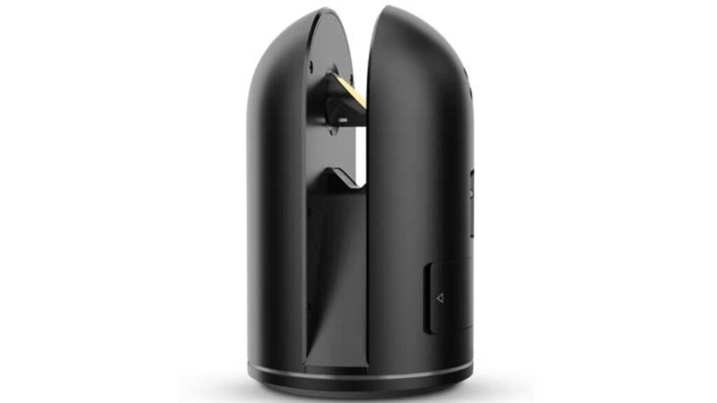
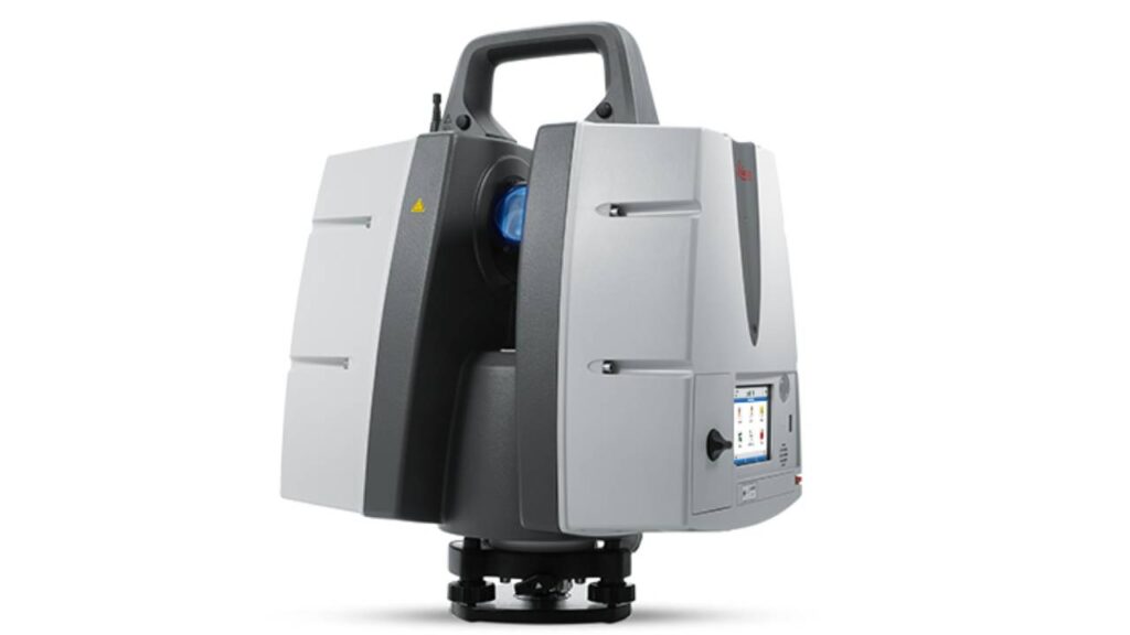
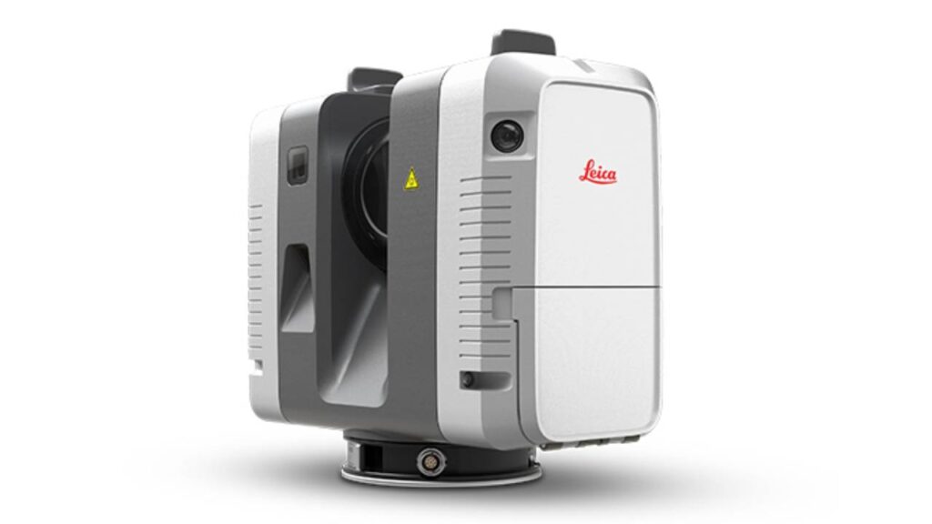
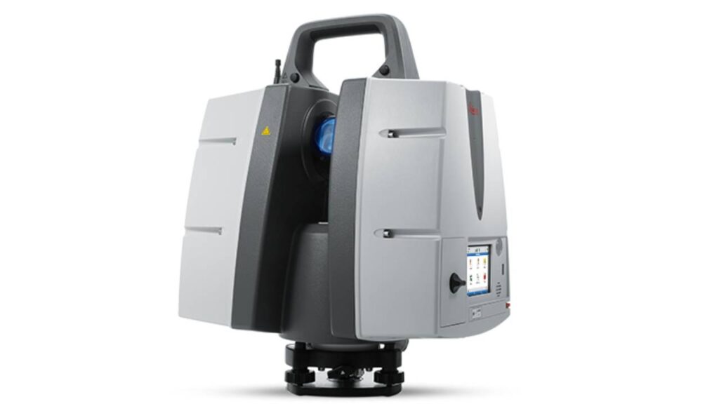
Our Leica Scan to BIM process starts with a Collect detailed site data using high-precision Leica scanners, such as the RTC360, BLK360, or ScanStation P40. These scanners capture millions of data points in a short amount of time, creating an accurate point cloud that represents the real-world conditions of your site. This point cloud data serves as the foundation for the creation of highly accurate 3D BIM models, reducing the chances of errors and ensuring every aspect of the project is captured with precision.
Capabilities of Our Leica Scan to BIM
- We Collect accurate point cloud data, ensuring every aspect is reflected in the final BIM model.
- Our workflow integrates point cloud data into leading software like Revit for precise modeling.
- Accurate existing condition models minimize errors and reduce rework, leading to faster project delivery.
- Our services cater to construction, architecture, and engineering for new builds, renovations, and retrofits.
- Detailed BIM models enable effective clash detection, identifying conflicts early in the design process.
- We provide accurate as-built models for reliable future reference in facility management.
- 3D models improve understanding and communication of design intent among stakeholders.
- Our scans establish benchmarks for monitoring progress and ensuring quality throughout construction.
- Captured point cloud data can be archived for future analysis and renovations.
FAQS
We utilize various Leica scanner models, including the Leica RTC360 for quick and accurate 3D reality capture, the Leica BLK360 for detailed scanning in smaller environments, and the Leica ScanStation P40 for high-end applications in large and complex projects.
The point cloud data provides a highly detailed and accurate representation of existing site conditions. This data is processed and converted into a 3D BIM model using software like Revit, allowing for precise planning, design, and coordination.
We primarily use Autodesk Revit for creating detailed BIM models, Autodesk Recap for processing point cloud data, and Leica Cyclone for visualizing and analyzing the data captured by our scanners.
Accuracy is ensured through the use of high-precision Leica scanners, thorough processing of point cloud data, and adherence to industry standards during the modeling phase. Our experienced team carefully checks and validates the models against the original scan data.
The process begins with conducting a detailed site survey using Leica scanners to capture point cloud data. This data is then processed with Autodesk Recap and imported into Revit, where it is transformed into a 3D BIM model. The final model is validated for accuracy and detail, ensuring it meets project specifications.
Our detailed BIM models allow for effective clash detection by identifying potential conflicts between architectural, structural, and MEP systems early in the design process. This proactive approach helps mitigate issues before construction begins.
For renovation projects, Leica Scan to BIM provides accurate as-built documentation, allowing for better planning and design. The detailed point cloud data ensures that existing conditions are thoroughly understood, reducing the risk of errors and rework.
The duration of the scanning process varies based on factors such as site size, complexity, and the number of scanner setups required. Typically, smaller projects can be completed within a few hours, while larger sites may take several days.
Yes, the point cloud data can be archived and reused for future analysis, renovations, or facility management purposes, providing long-term value beyond the initial project.
We prioritize data security by implementing strict protocols for data handling, storage, and sharing. All data is encrypted and managed according to industry standards to ensure the privacy and confidentiality of our clients’ information.
