FARO Laser Scan to BIM
We are providing efficient Scan to BIM services utilizing FARO Laser Scanners. Our advanced technology and expertise enable us to transform point cloud data into detailed BIM for various applications in architecture, engineering, and construction.

Convet Point Cloud Data From FARO Scanner to BIM
At Scan to BIM Solutions, we pride ourselves on being a trusted provider of Scan to BIM services across the USA. With a deep understanding of the construction and design industries, we recognize the importance of capturing every detail accurately when converting physical spaces into digital models. FARO Laser Scanners are integral to this process, offering the precision and efficiency needed to gather comprehensive point cloud data. By leveraging the capabilities of FARO technology, we provide clients with BIM models that reflect exact conditions, reducing errors and streamlining project workflows.
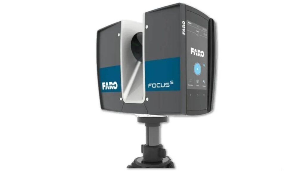
FARO Laser Scanners are among the most advanced tools available in the industry, and their ability to capture millions of data points in seconds makes them ideal for complex projects. Whether working on large-scale commercial developments or intricate historical restorations, we rely on the data collected from FARO Laser Scanners to ensure that our BIM models are as detailed and accurate as possible. This high level of accuracy allows architects, engineers, and contractors to visualize and coordinate their projects with confidence, knowing that their digital representations are true to the real-world structures.
Our team of experienced professionals is well-versed in the capabilities and applications of FARO Laser Scanners. With years of hands-on experience, we have successfully completed numerous projects across various sectors, including commercial, residential, and industrial spaces. Additionally, we also offer Leica Scan to BIM Services, ensuring that all our clients’ needs are met with the latest scanning technology for accurate digital transformations. Our expertise ensures that we deliver precise and reliable BIM models that meet industry standards.


Our Scan to BIM Expertise With FARO
At Scan to BIM, we leverage powerful software tools like Autodesk Revit, FARO Recap, and Leica Geosystems to transform raw point cloud data into precise, actionable BIM models. Revit serves as the foundation for creating detailed 3D models that integrate architectural, structural, and MEP elements, enabling seamless collaboration and project coordination. Recap is essential for processing and optimizing the point cloud data captured by FARO Laser Scanners, converting it into formats suitable for modeling. We also utilize Leica software to refine data accuracy and enhance visualization, ensuring that our final BIM models are reliable and ready for diverse project applications.
- Cleans and optimizes raw data from Leica scanners.
- Works seamlessly with Autodesk Revit for smooth data transition.
- Enhances understanding and communication of 3D data.
- Allows precise measurements from point clouds.
- Organizes and shares point cloud data efficiently.
- Compatible with various file formats for workflow integration.
- Reduces data prep time, focusing on modelin
How We Use FARO Laser Scanners Data?
Our process begins with a thorough site assessment, where we determine the most effective approach to data collection using FARO Laser Scanners. Our team collect detailed point cloud data, which serves as the foundation for our BIM models. Although we do not operate the scanners directly, we work closely with scanning specialists to ensure accurate data collection. This collaborative effort guarantees that we obtain high-quality data, which is crucial for creating reliable BIM deliverables.
Capabilities of Our FARO Scan to BIM
- Captures data with sub-millimeter accuracy for detailed BIM models.
- Scans large areas quickly, reducing on-site time.
- Suitable for diverse environments, from large construction sites to tight interiors.
- Full panoramic capture ensures no detail is missed.
- Provides accurate data for precise 3D models.
- Reflects true site conditions, reducing design and construction errors.
- Handles projects of all sizes, from close-up details to large areas.
- Provides accurate as-is data, essential for renovation and retrofit projects.
- Ensures seamless integration with BIM software for faster project delivery.
FAQS
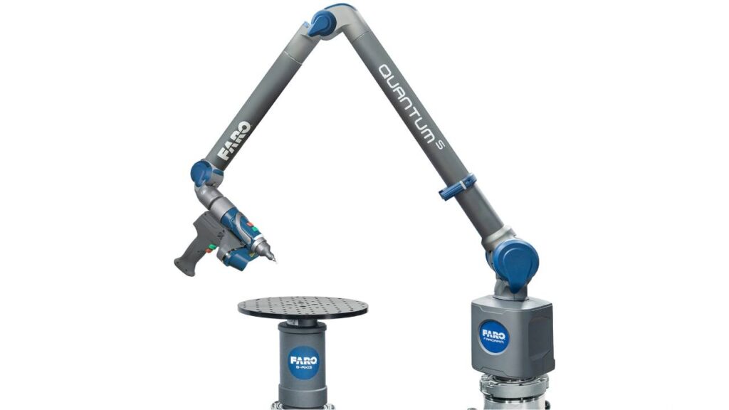
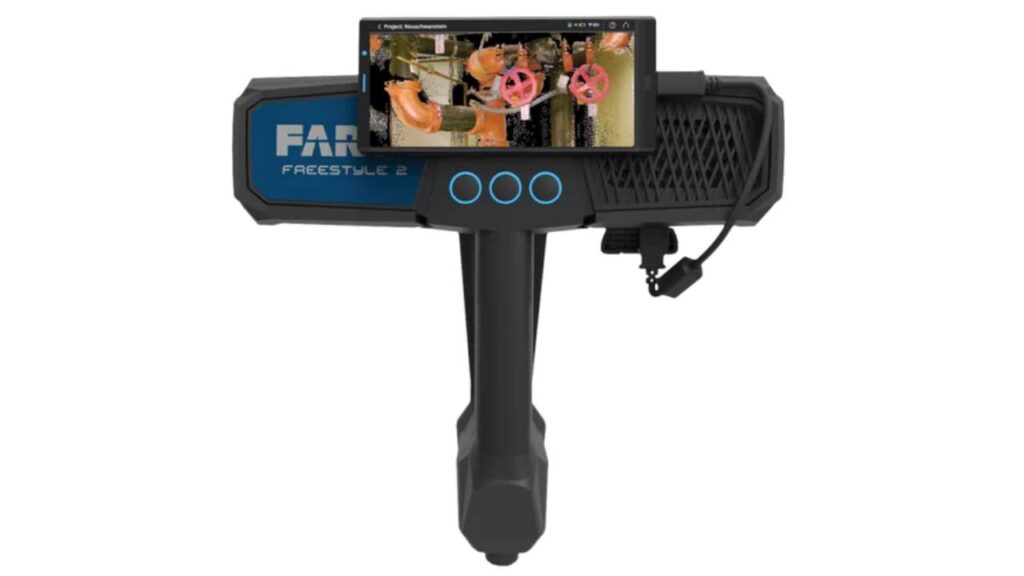
A FARO Laser Scanner is a 3D scanning device that captures precise measurements of physical environments by emitting laser beams and recording the time it takes for them to return. It creates a point cloud, which represents the scanned area in three dimensions, allowing for detailed modeling and analysis.
During the data collection process, FARO Laser Scanners are positioned at various locations around the site to capture point cloud data. This data is then processed using specialized software, such as FARO Recap, to convert it into a usable format for BIM modeling in tools like Autodesk Revit.
FARO Laser Scanners provide high precision, fast data acquisition, and the ability to capture complex geometries. They ensure that BIM models accurately reflect real-world conditions, reducing errors and improving project efficiency.
FARO Recap processes the raw point cloud data collected from FARO Laser Scanners and prepares it for use in BIM software like Revit. It allows users to clean, optimize, and visualize the data before importing it into the BIM environment for modeling.
Yes, FARO Laser Scanners are versatile and can capture data in a variety of environments, including tight spaces, complex geometries, and even challenging outdoor conditions. Their portability and high accuracy make them suitable for diverse project requirements.
FARO Laser Scan to BIM services are beneficial for various projects, including new construction, renovations, historical restorations, and infrastructure development. They are particularly useful in projects requiring high accuracy and detailed modeling.
To ensure data accuracy, we follow strict protocols during the scanning process, including proper scanner placement, alignment, and calibration. Additionally, our experienced team conducts thorough quality checks on the point cloud data before processing it for BIM modeling.
Turnaround time can vary depending on the project’s size and complexity, but we strive to deliver initial BIM models within [insert timeframe, e.g., 1-2 weeks] after data collection. We prioritize efficiency without compromising accuracy.
Yes, the BIM models created from FARO Laser Scan data can be exported to various formats compatible with other software, facilitating collaboration with different stakeholders in the project.
The level of detail in BIM models created from FARO Laser Scan data can be highly intricate, capturing fine architectural and structural elements. This allows for detailed visualizations and effective coordination among project teams.
