Drone Scanning to BIM Modeling
Explore our’s Drone Scanning to BIM services for precise, efficient 3D modeling. Enhance project accuracy, safety, and speed with our expert solutions tailored to your construction and architectural needs.

Drone Scanning to BIM Modeling Services
At Scan to BIM Solutions, we specialize in offering Drone Scan to BIM services across the world, utilizing cutting-edge drone technology to provide highly accurate and efficient 3D BIM models. Drone scanning has become a game changer in the construction industry, providing rapid data collection, increased safety, and precision that traditional surveying methods simply can’t match. With the ability to capture comprehensive data from both large and complex sites, drones are helping revolutionize how projects are designed, monitored, and executed.
By integrating drone scanning with BIM, we offer a seamless process for creating detailed 3D models that reflect the real-world conditions of your project. These models are invaluable for stakeholders across the construction, architecture, and engineering industries, providing a reliable digital representation of a building or site. Whether you’re planning a new construction project, conducting a renovation, or managing an existing facility, our drone-based BIM models offer enhanced accuracy and insights that drive better decision-making.
Our services also include Photogrammetry Scan to BIM Modeling Services, ensuring that we leverage the best technologies to provide accurate and efficient results tailored to your project’s needs. Photogrammetry adds another layer of precision by capturing high-resolution images to generate detailed 3D models that complement drone-based data collection.
Our commitment to staying at the forefront of technological advancements ensures that our clients benefit from the latest innovations in the field. The combination of drone technology with BIM not only accelerates the data collection process but also improves project outcomes by reducing errors, mitigating risks, and lowering costs. At Scan to BIM Solutions, we strive to offer a solution that is both efficient and tailored to the specific needs of your project, ensuring that every detail is captured and modeled with precision.
What is Drone Scanning to BIM?
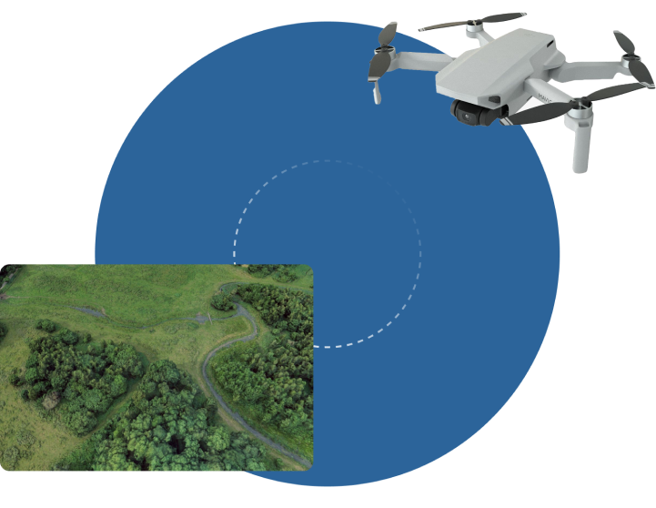
Drone scanning involves using drones equipped with advanced imaging technology such as photogrammetry or LiDAR to capture high resolution aerial data. This data is processed into accurate 3D point clouds, which serve as the foundation for creating detailed BIM models. These models help architects, engineers, and contractors visualize and manage construction projects with greater precision, ensuring that every detail is accounted for.
Benefits of Drone Scanning to BIM
Faster Data Collection
Drones can capture data from large areas in a fraction of the time it would take using traditional methods. This reduces project timelines, allowing stakeholders to make quicker decisions and keep projects on schedule.
Improved Safety
Drones can easily scan hard-to-reach or hazardous areas such as rooftops, tall structures, or unstable terrains. This reduces the need for workers to physically access dangerous locations, significantly improving safety on-site.
Comprehensive Data Coverage
Drones can capture data from multiple angles, including aerial and oblique views, giving a more complete and holistic view of the project site. This level of detail is difficult to achieve through traditional ground-based surveying methods.
Reduced Environmental Impact
By reducing the need for heavy machinery and extensive on-site teams, drone scanning has a lower environmental impact. It helps minimize disruption to the site and surrounding environment, making it a more sustainable solution.
Greater Flexibility
Drones are highly versatile and can be used for a wide range of projects, from infrastructure developments to building renovations. They can scan large construction sites, intricate building interiors, and even underground utilities, adapting to the unique needs of each project.
Real-Time Insights
Drone scanning provides up-to-date, real-time data, enabling stakeholders to monitor progress as it happens. This real-time data helps teams make informed decisions, adjust project plans, and avoid costly delays.
Why Choose Us?
At Scan to BIM Solutions, we are committed to delivering precise, efficient, and innovative Drone Scanning to BIM solutions tailored to the specific needs of your project. With years of experience in the industry, our team comprises experts who specialize in both drone technology and BIM. We use the latest in drone scanning and data processing technology to ensure that every model we produce is of the highest quality, offering unmatched accuracy and detail. Our comprehensive approach ensures that from data capture to BIM model creation, the entire process is seamless and efficient. We understand the importance of reducing project risks and costs, which is why we focus on improving safety, speeding up project timelines, and enhancing the overall decision-making process.
Applications of Drone Scanning in BIM Projects
- Construction Monitoring and Progress Tracking
- As-Built Modeling and Documentation
- Site Surveys and Topographic Mapping
- Facade and Roof Inspections
- Clash Detection and Coordination
- Infrastructure Projects
- Surveying Hard-to-Reach Areas
- Building Renovations and Retrofits
- Environmental and Land Use Planning
