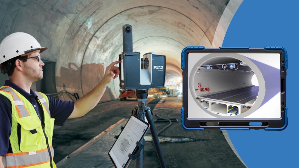
What are the Key Steps in the Scan to BIM Process for Surveyors?

Scan to BIM is a process that captures precise, accurate measurements and characteristics of a physical structure using 3D laser scanning technology. The data collected through scanning to BIM services is converted into a 3D model that accurately represents the structure’s as-built conditions, including architectural details, structural elements, and MEP systems. point cloud to BIM […]
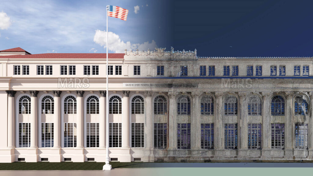
How Does Scan to BIM Facilitate the Restoration of Historic Monuments?

Scan to BIM (Building Information Modeling) is an innovative technology that uses advanced 3D laser scanning and photogrammetry to capture the precise physical details of a building or monument. This process converts real-world data into accurate, detailed digital models, which are crucial for the renovation, restoration, and maintenance of historic structures. For historic monuments, where […]
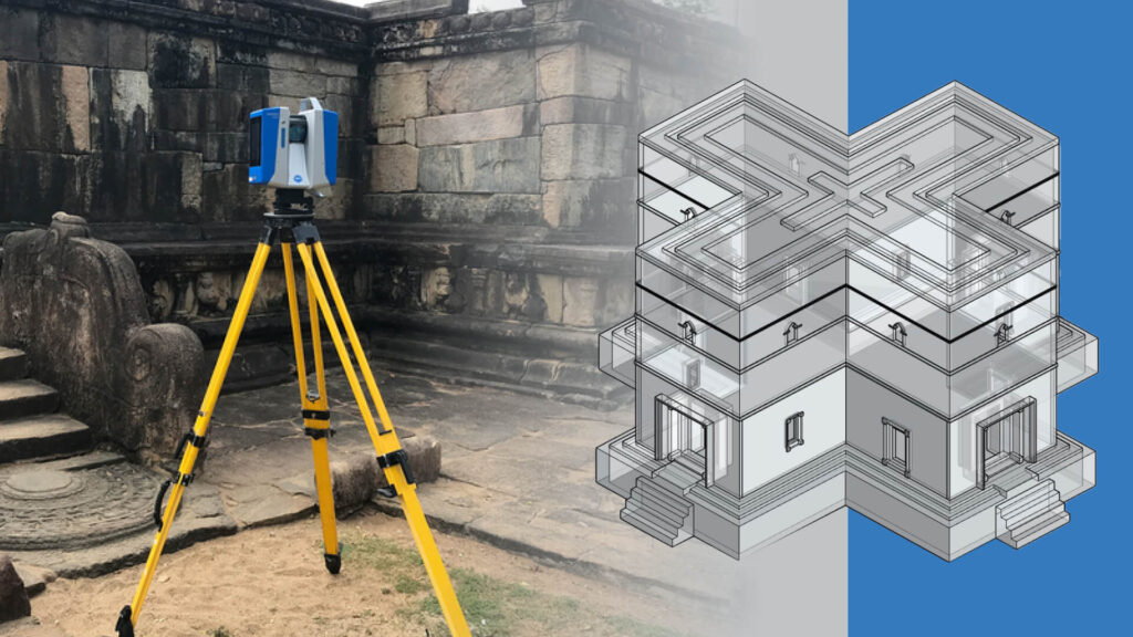
How Can LiDAR Technology Improve the Detail Level in As-Built BIM Models for Historical Sites?

LiDAR technology has revolutionized the way we capture and analyze detailed information about structures, particularly historical sites. It provides highly accurate and comprehensive data, enhancing the detail level in as-built BIM models. This offers numerous benefits for preserving and restoring historical sites. What is LiDAR? LiDAR (Light Detection and Ranging) is a remote sensing technology […]
